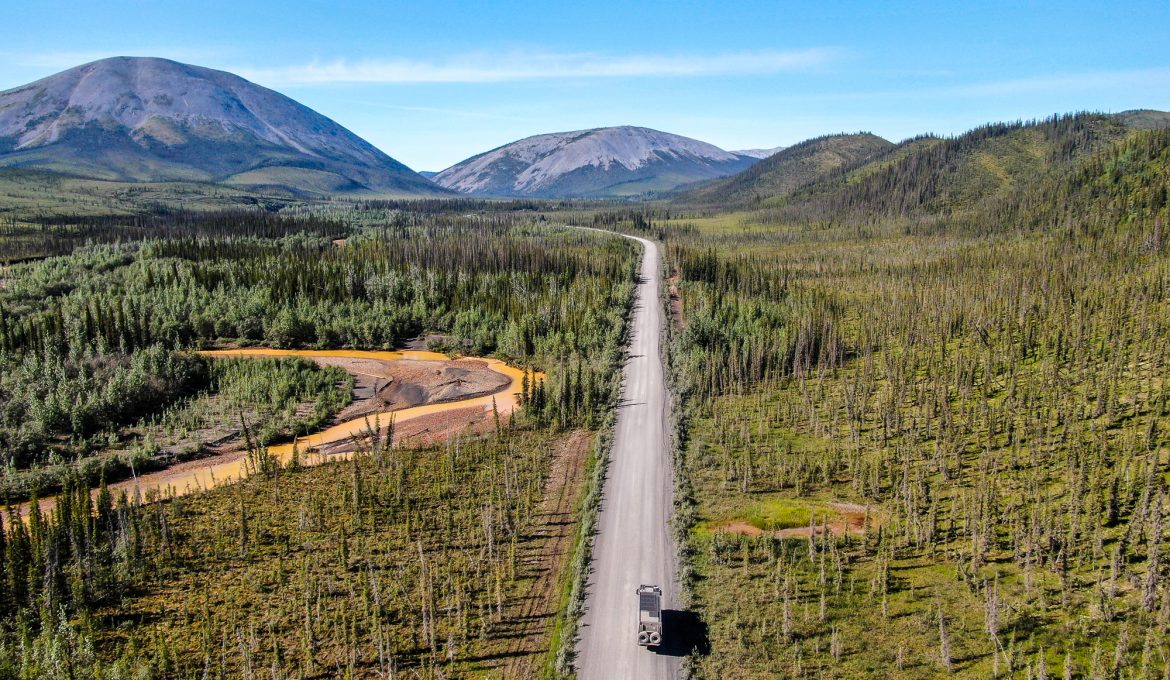
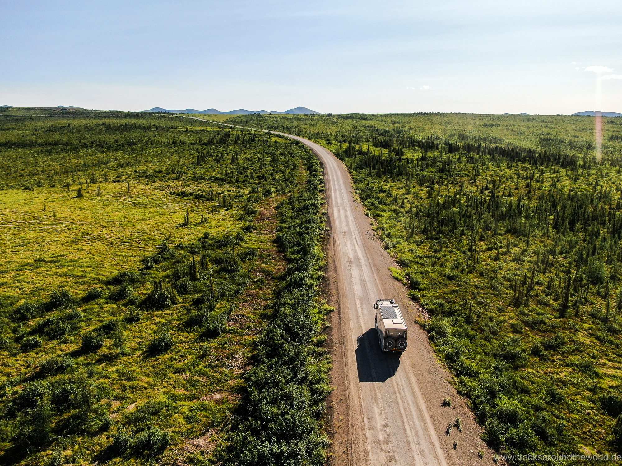
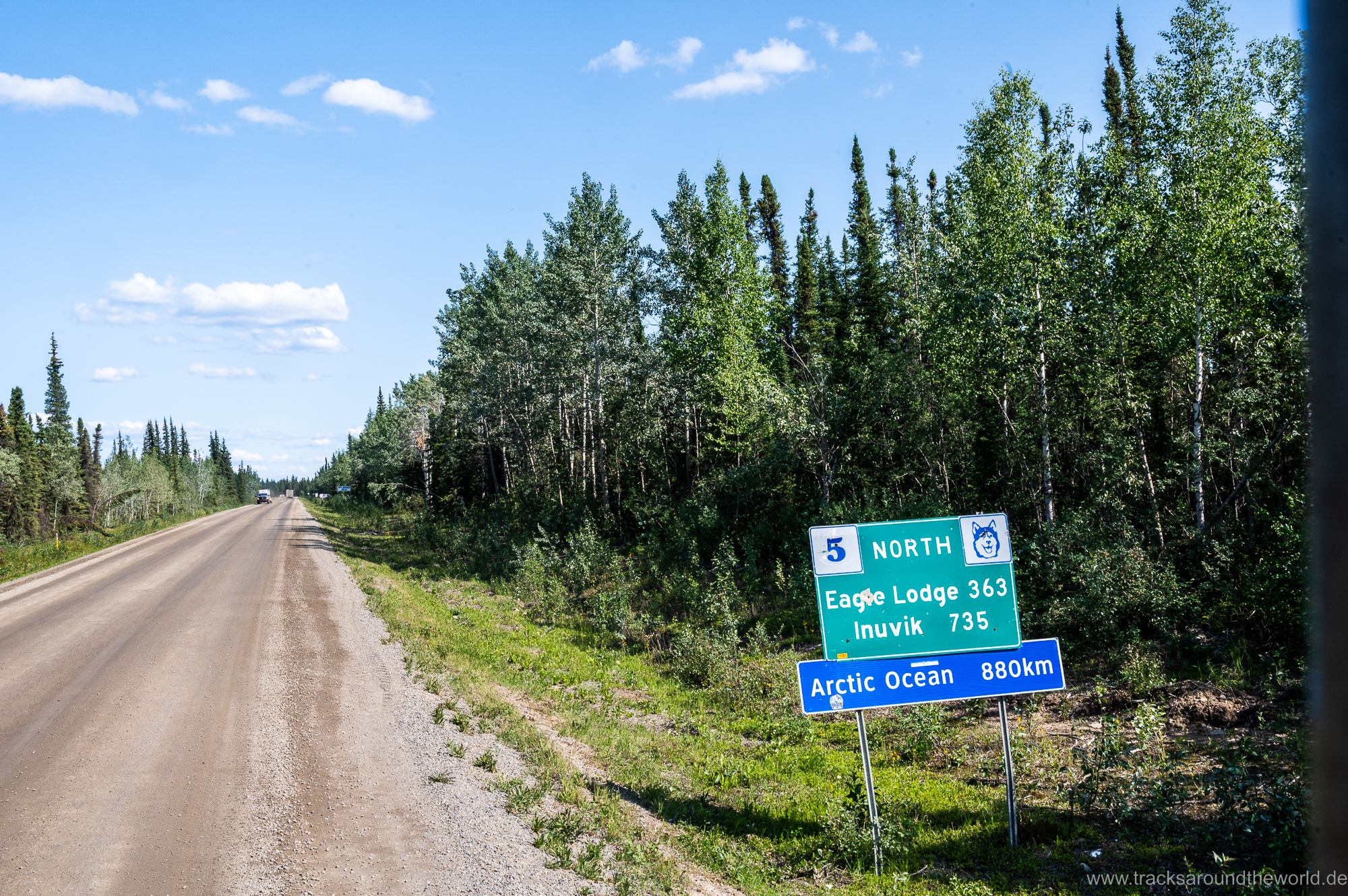
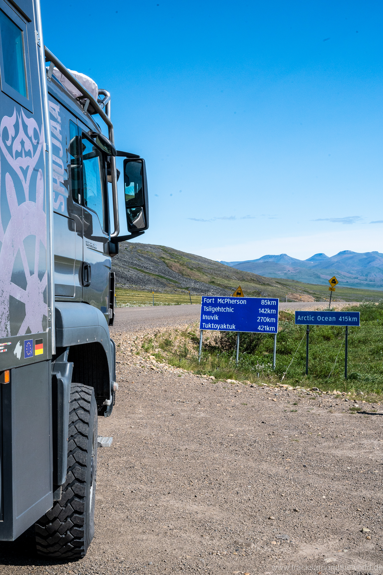
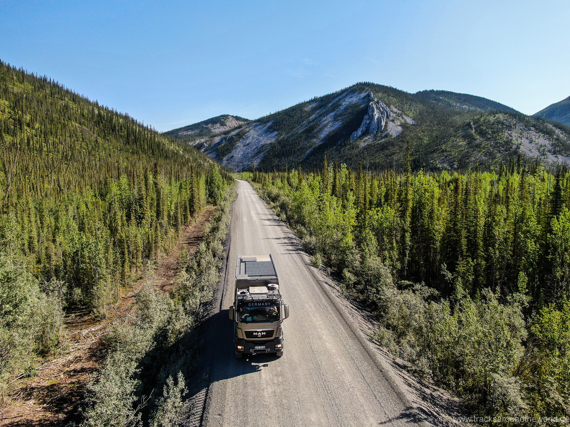
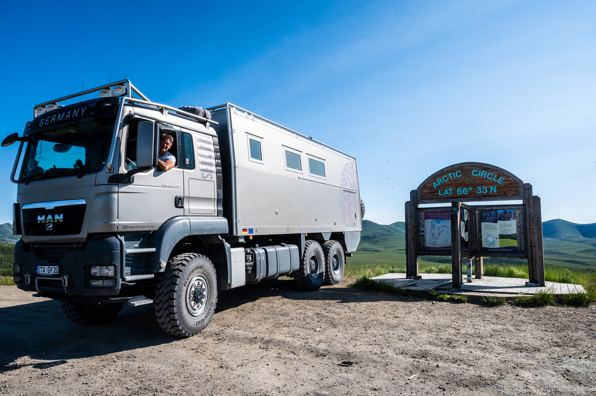
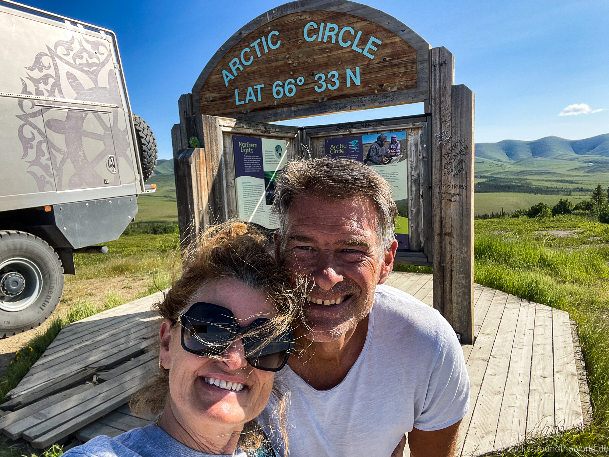
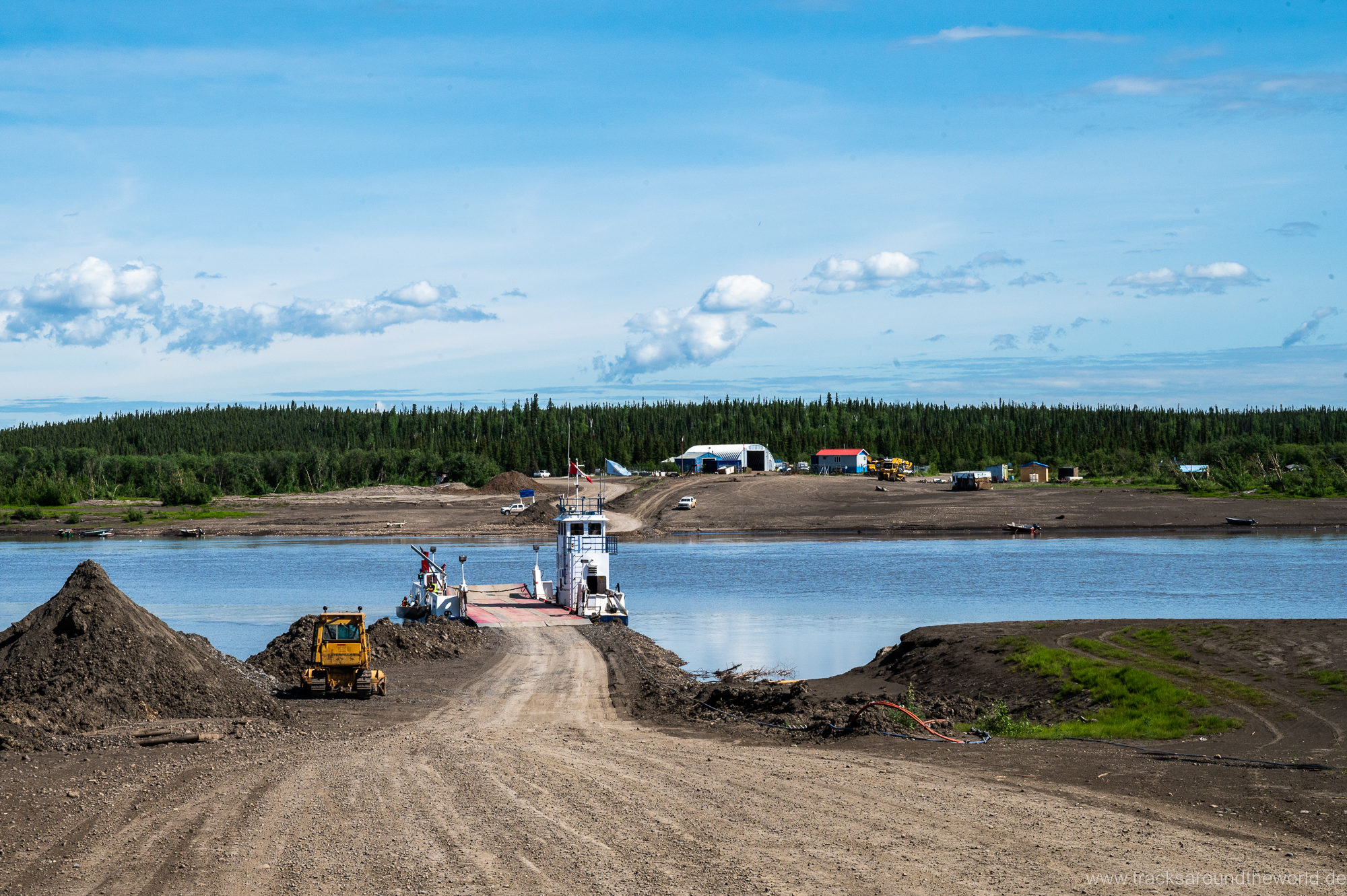
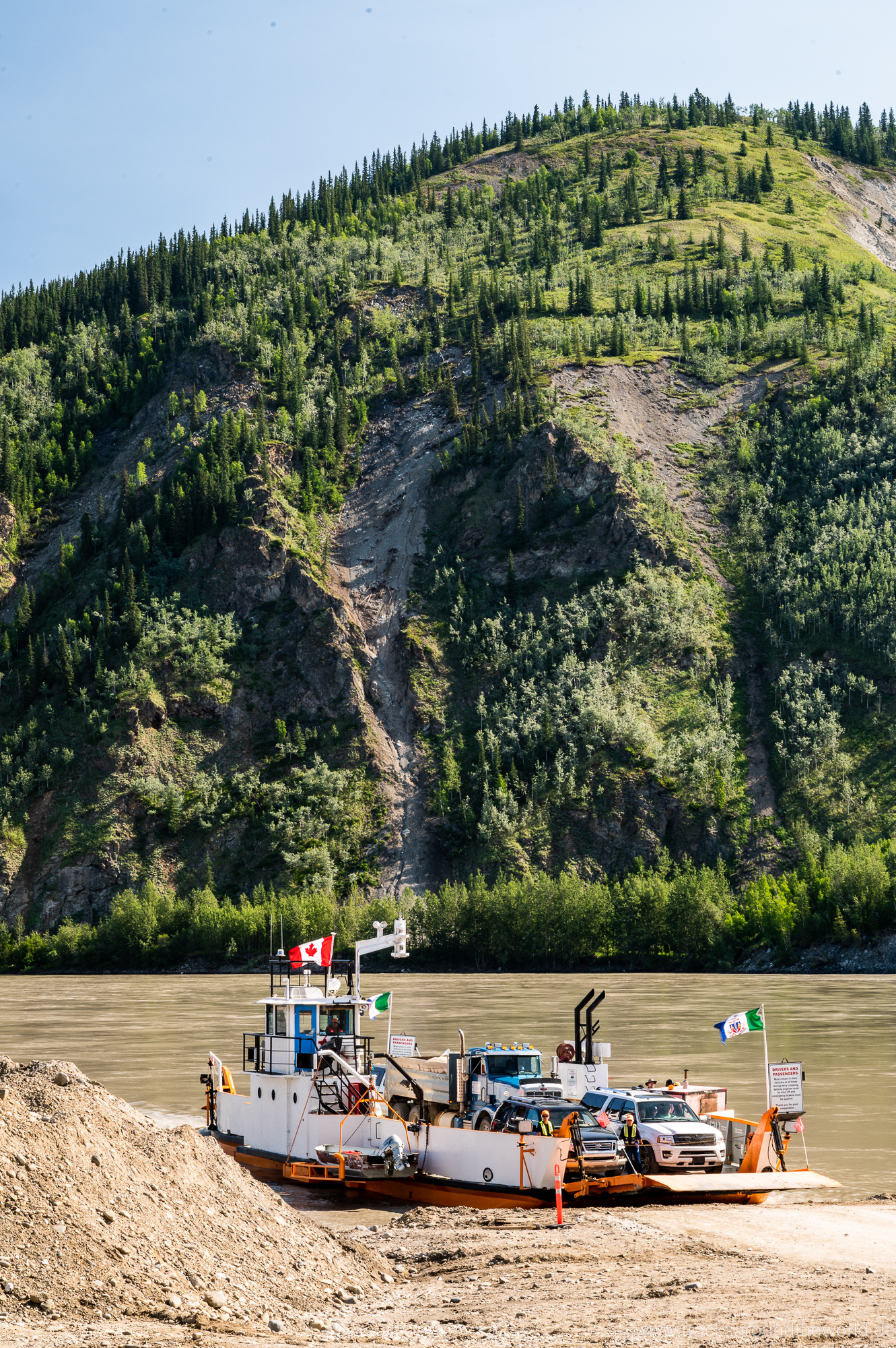
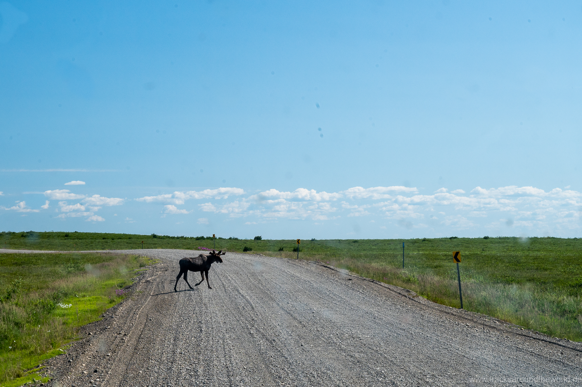
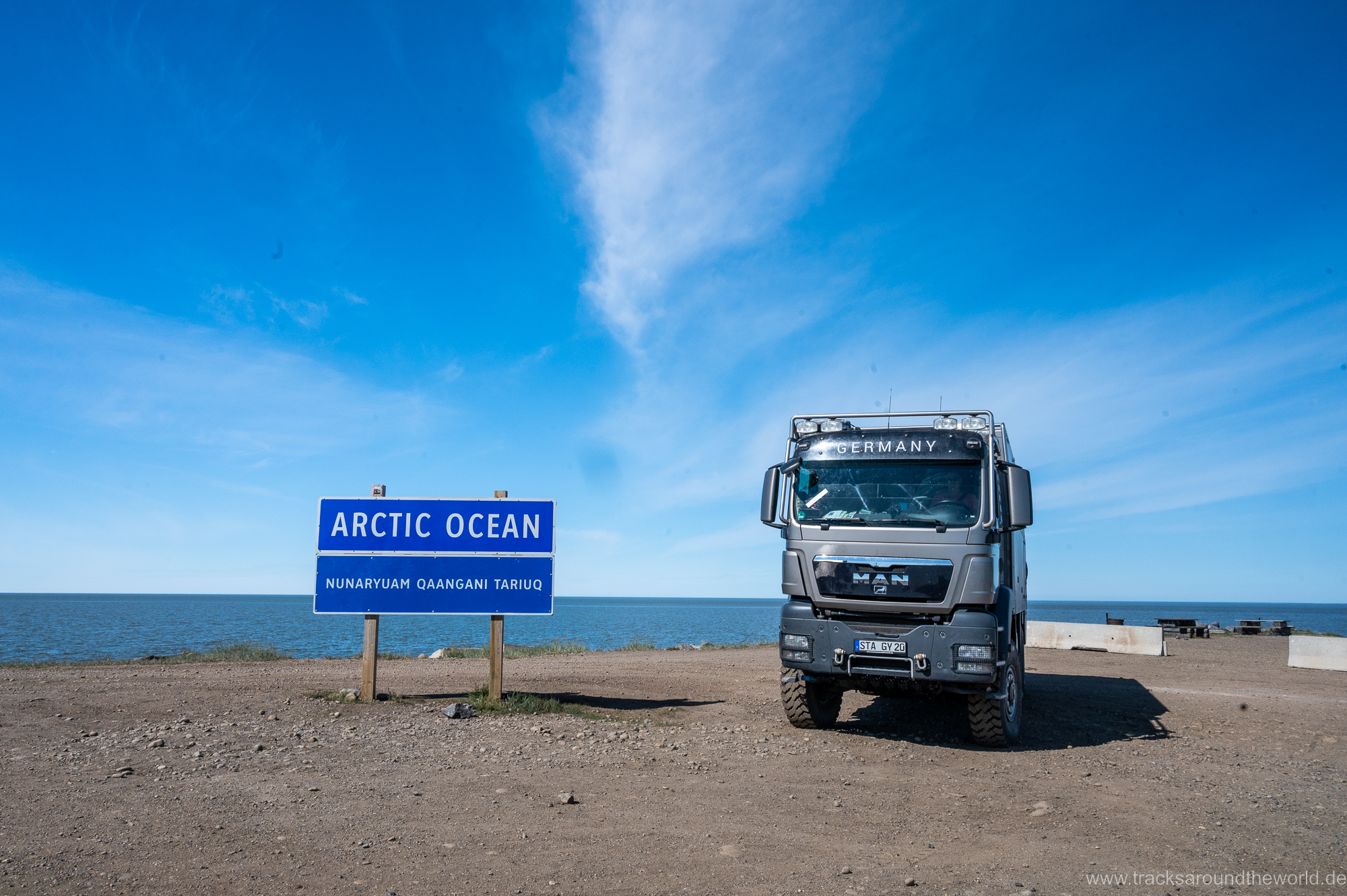
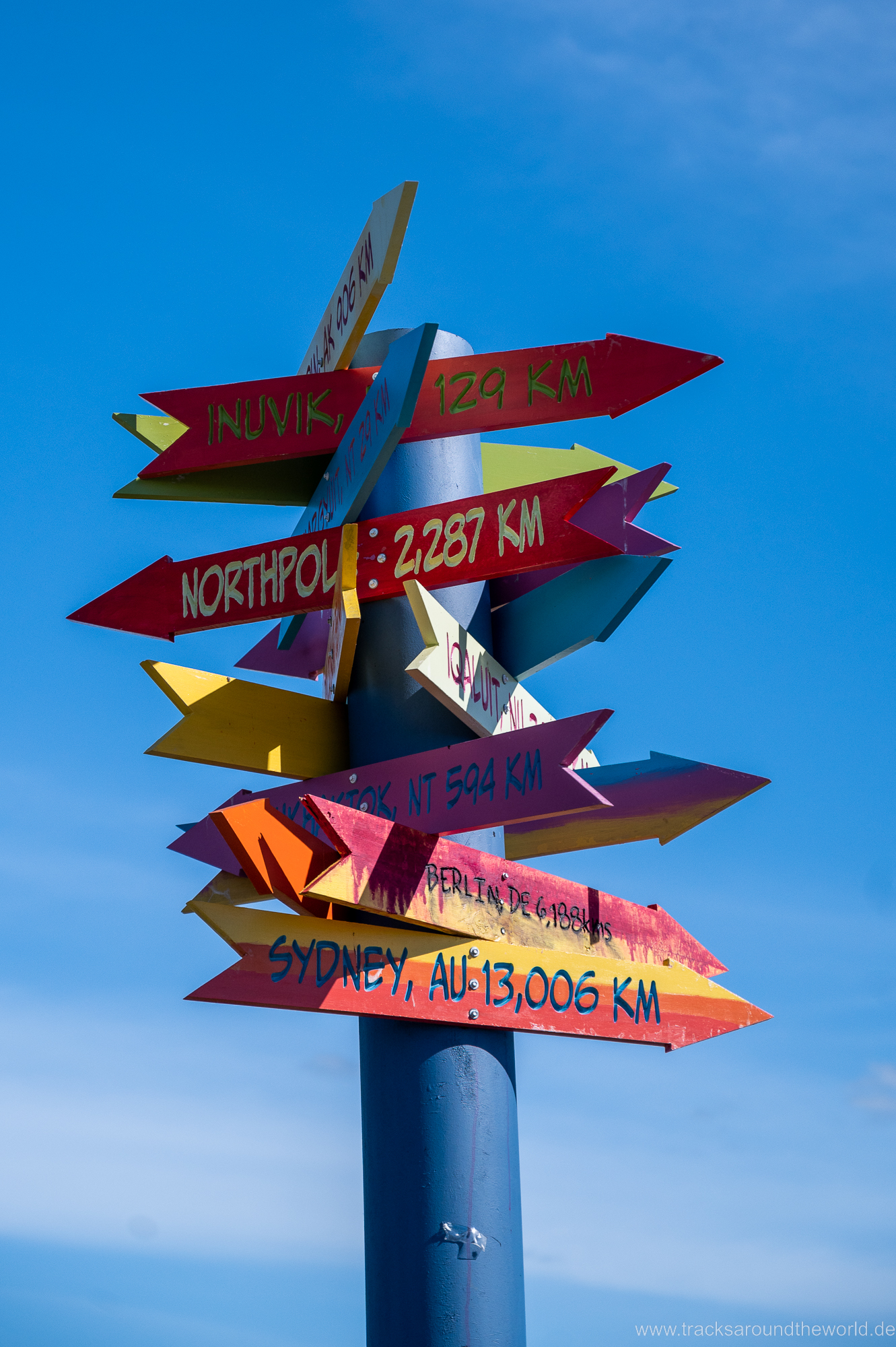
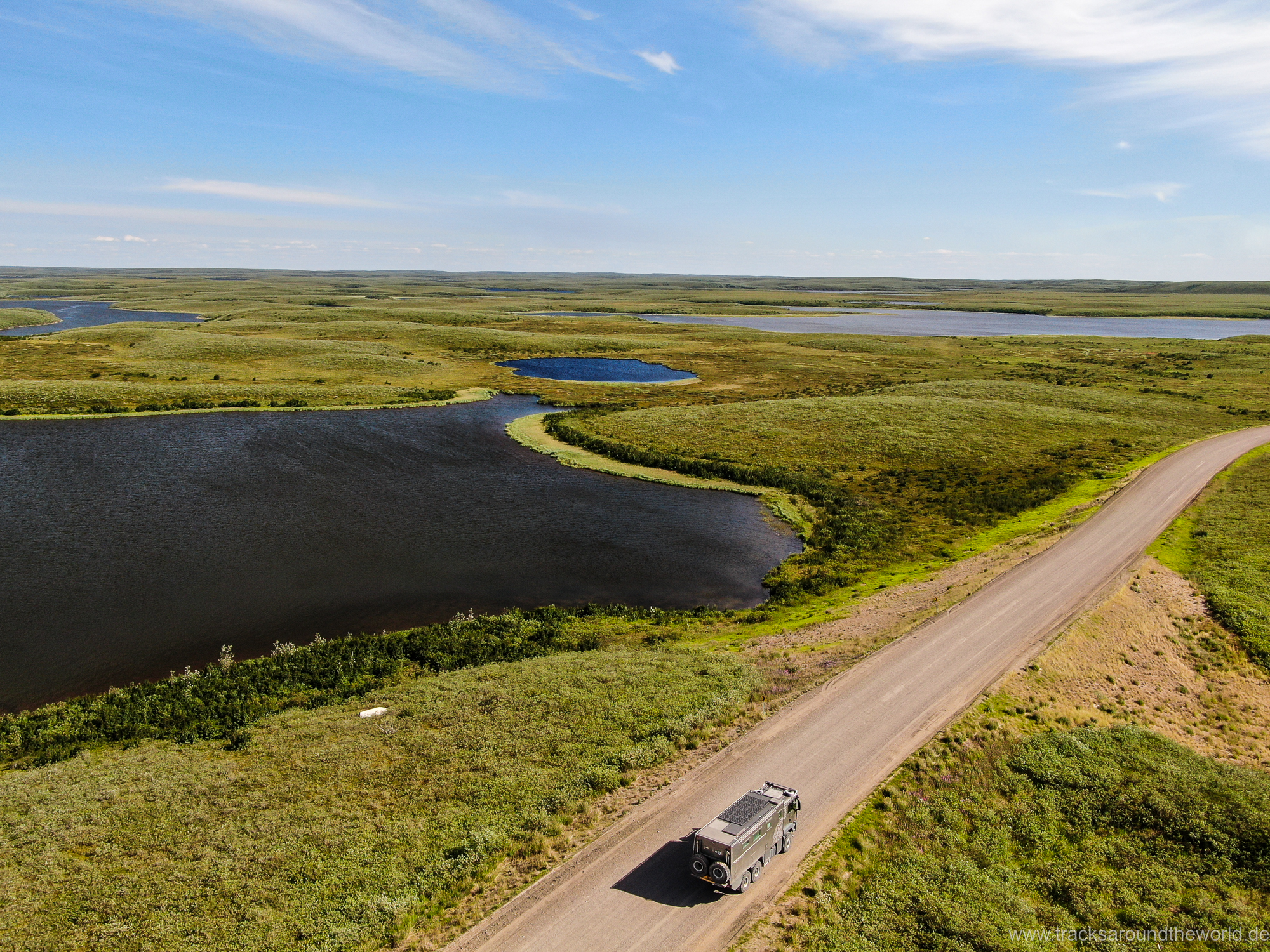
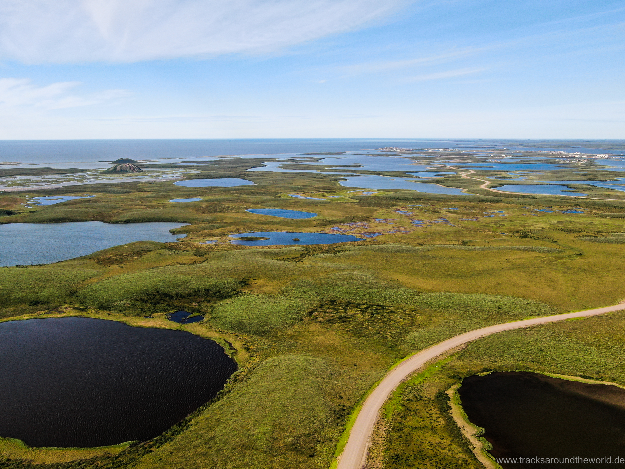
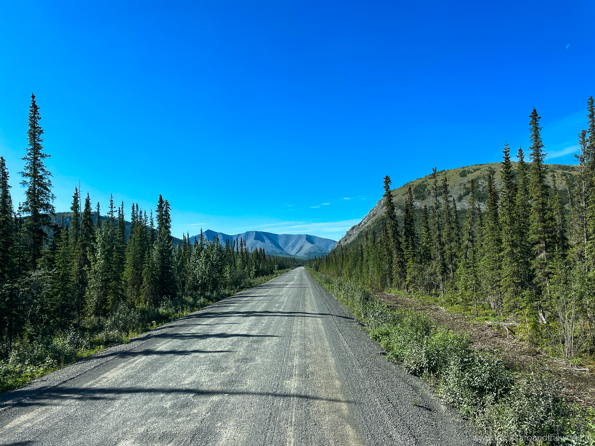
The so-called “Dempster Highway” is one of THE slopes, which is a “must-do” for an adventurous overlander in North America. The construction of this track started in 1959 and it was only finished in 1979, after 750 km, in the small “First Nations” town Inuvik. Long, very cold winters, permafrost, many mountains and rivers led to great challenges! In between there is nothing but gorgeous landscapes, tundra, caribous, bears, two ferries across the Peel and McKenzie Rivers and two small fuel stations. It was not until 2017 that the last 140 km from Inuvik to the Arctic Sea – the Beaufort Sea – and the tiny village of Tuktuyaktuk were completed. Nowhere else in North or South America can you get closer to the pole by road (although it is still more than 2,000 km from Tuktuyaktuk to the North Pole).
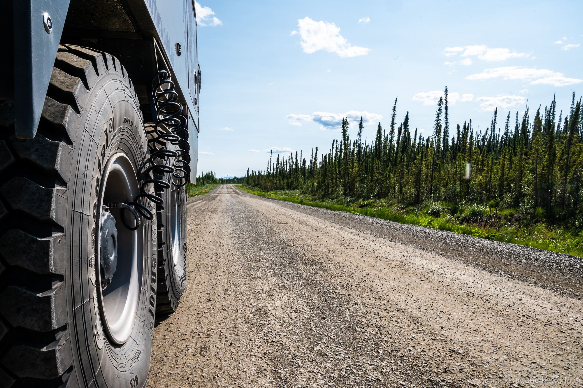
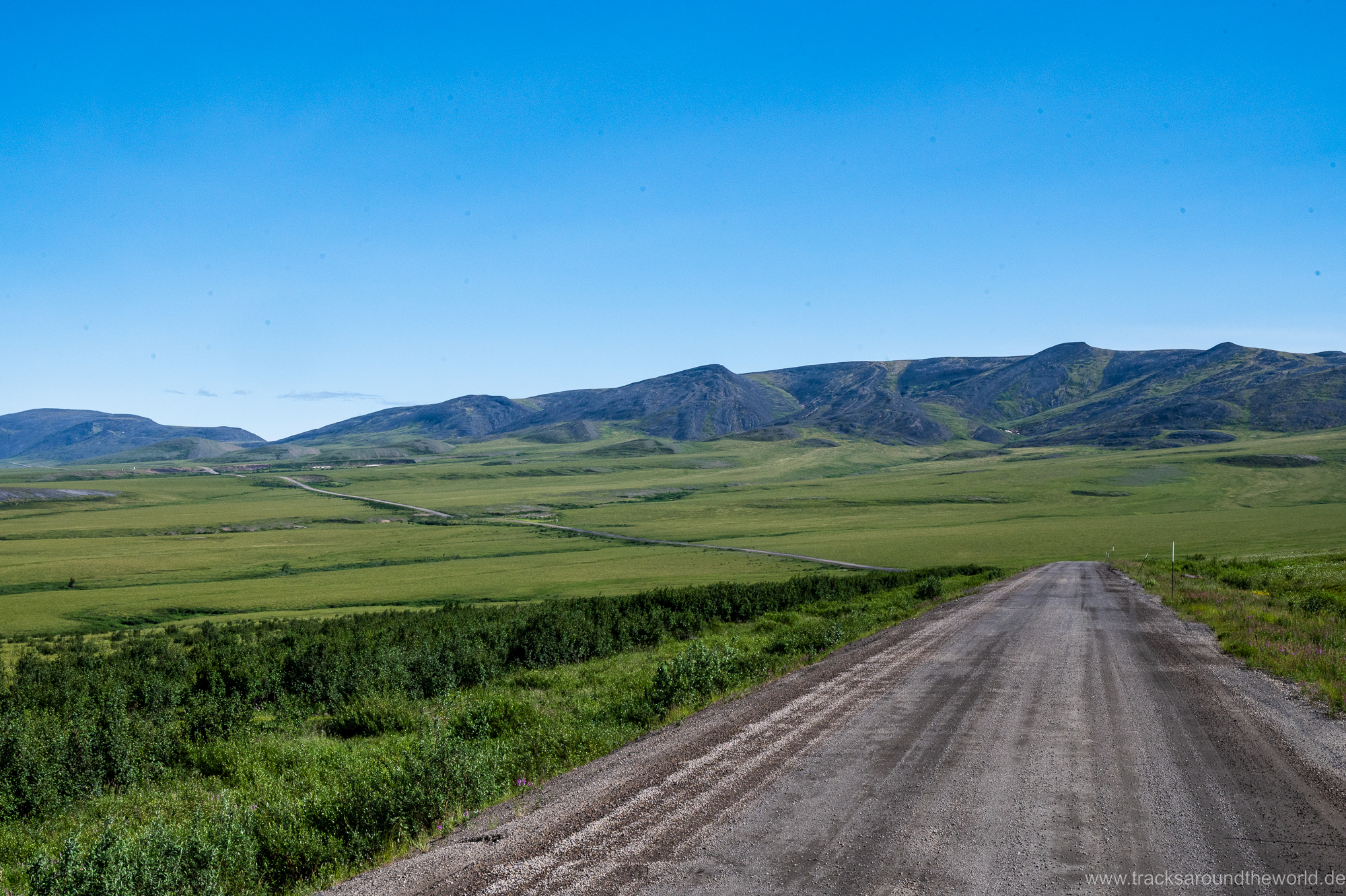
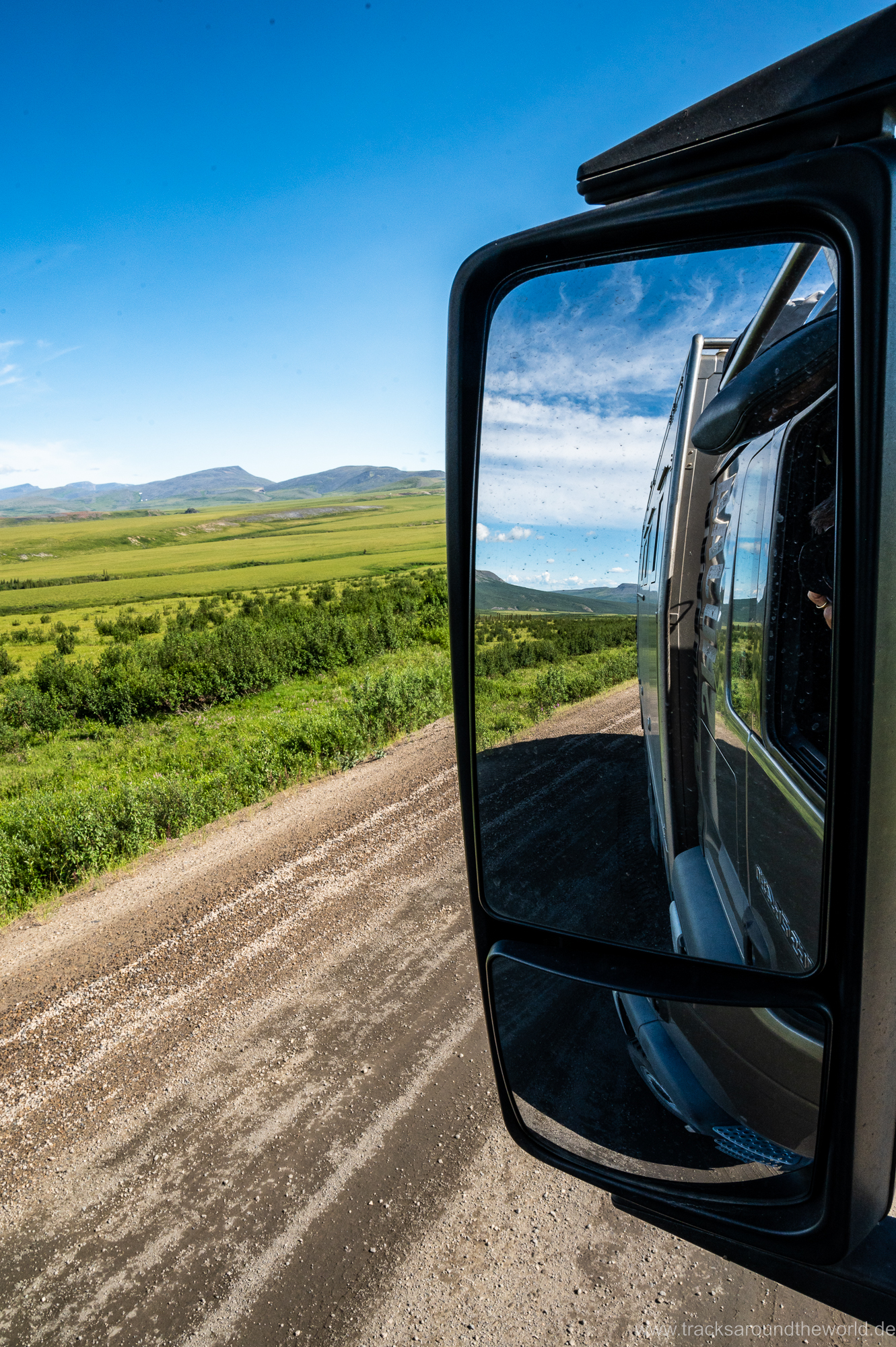
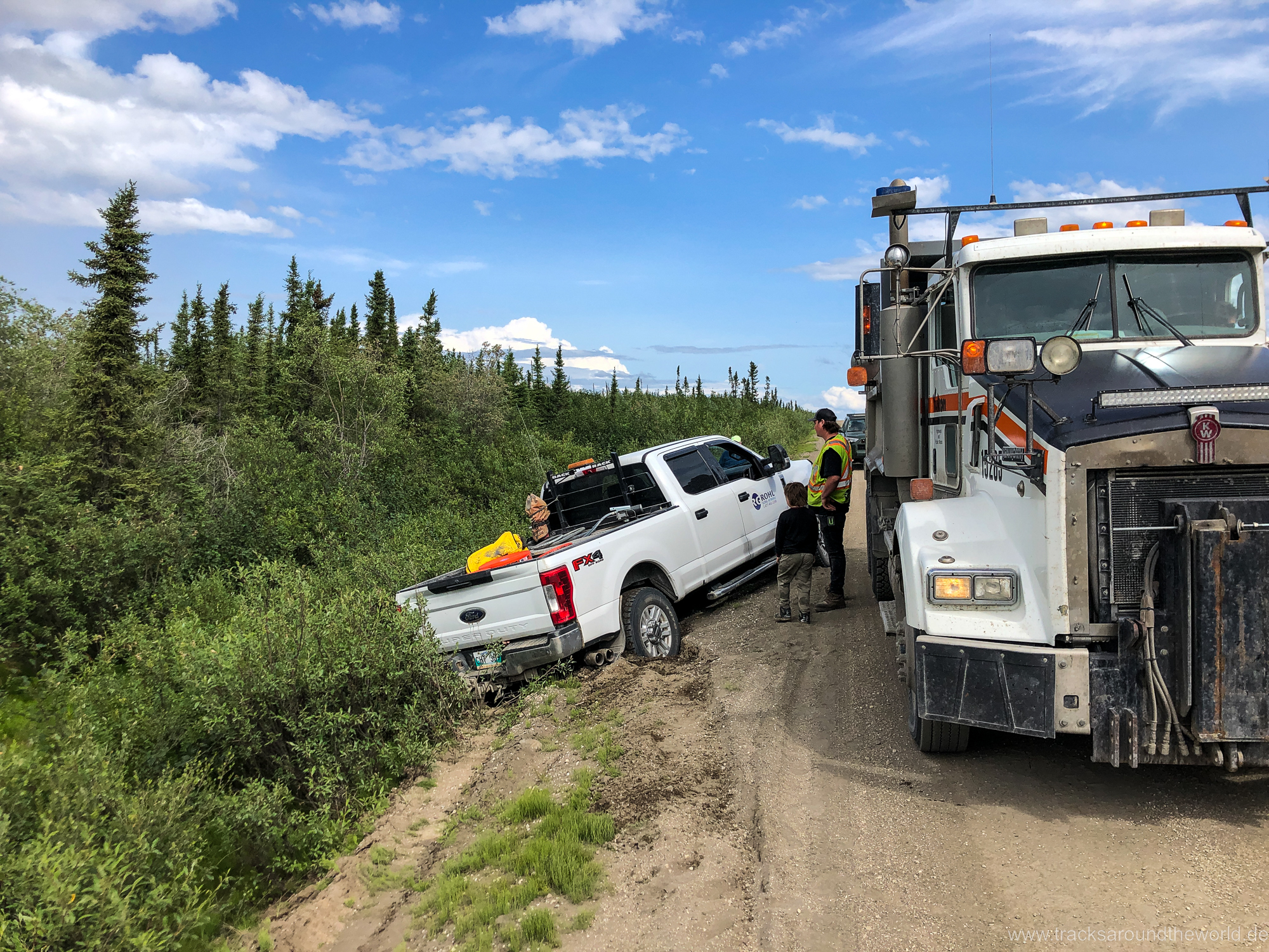
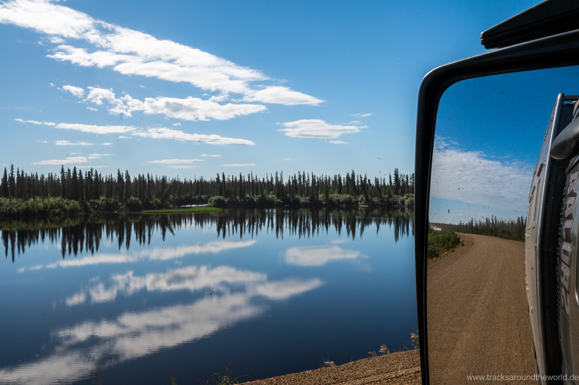
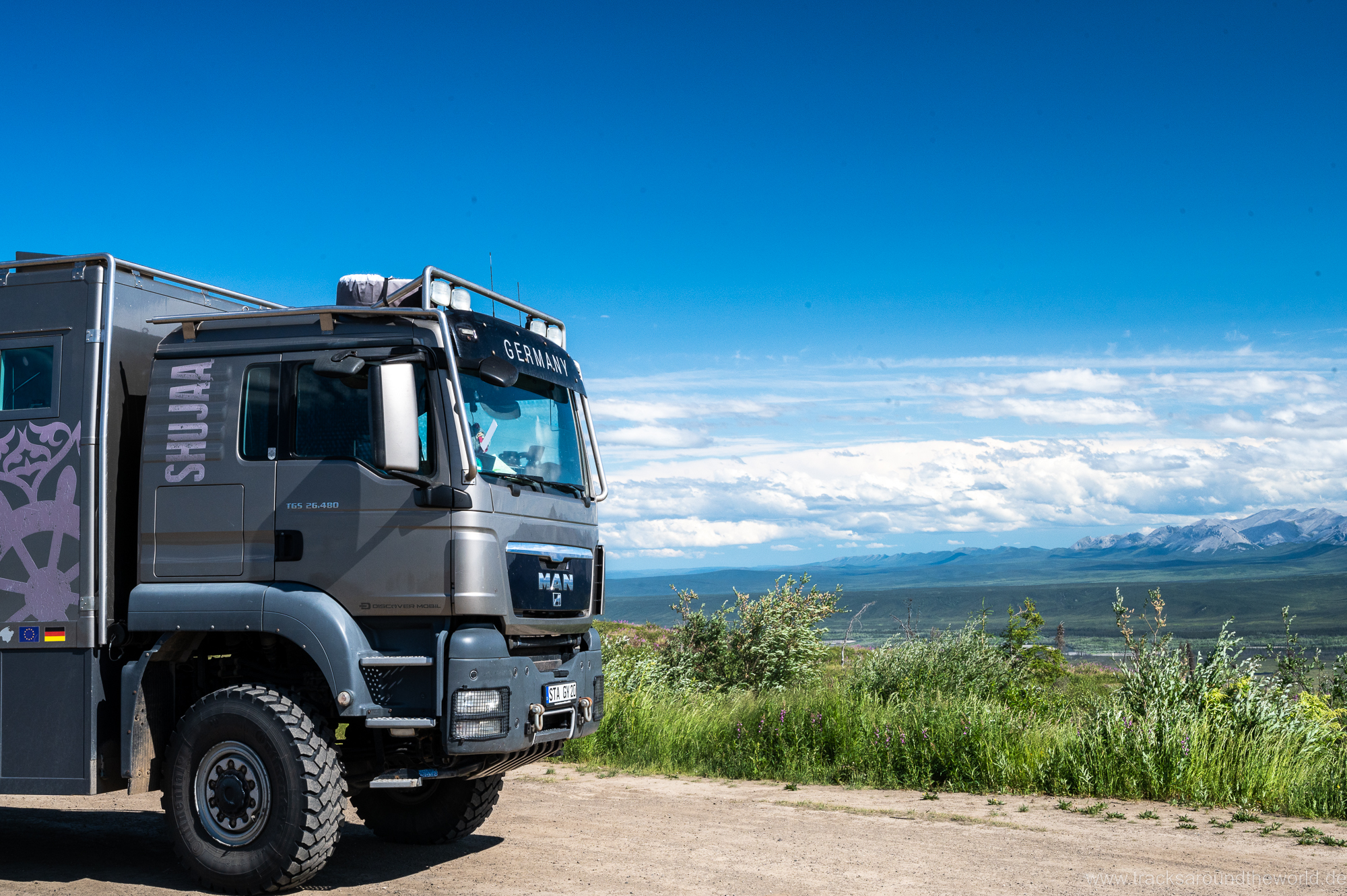
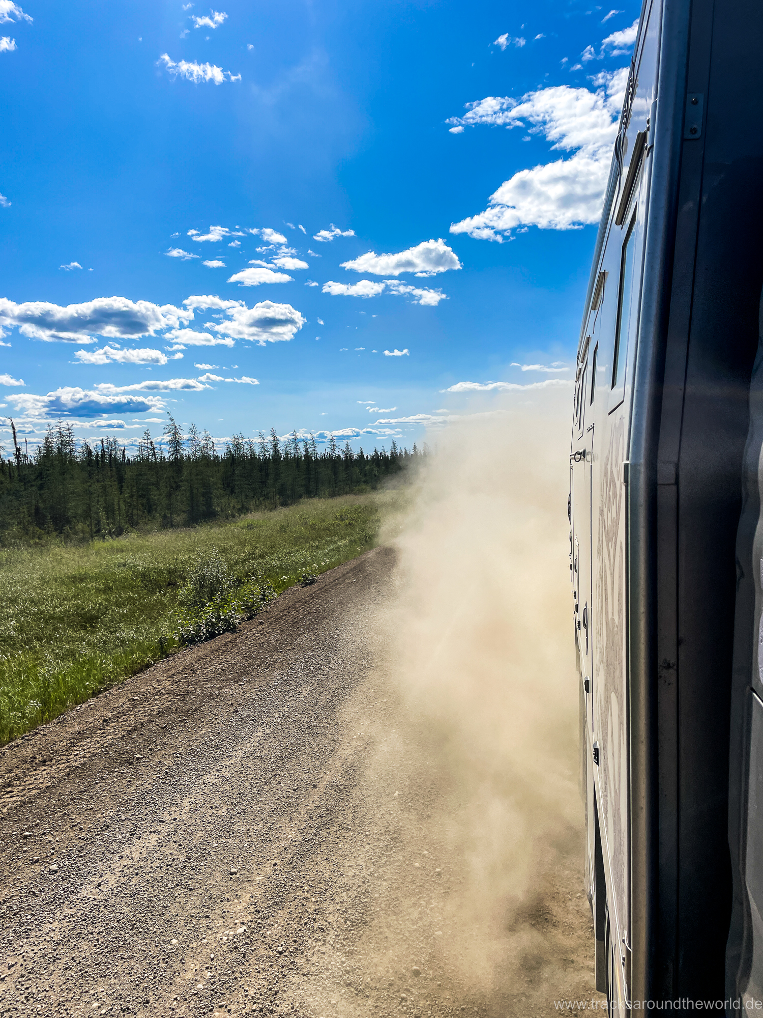
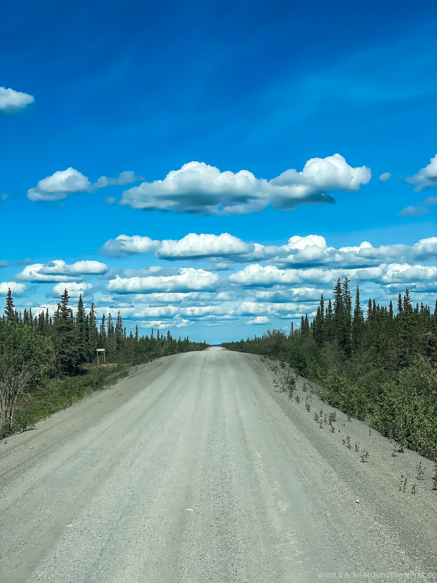
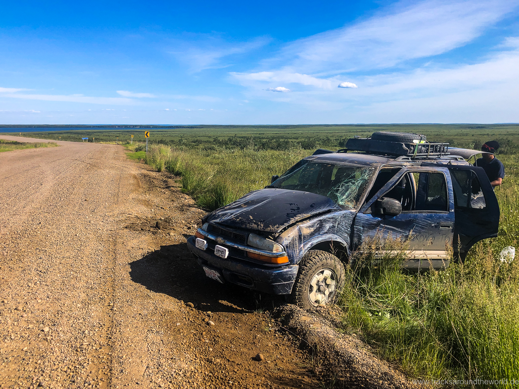
So, a great adventure, although the gravel road itself does not pose any major technical challenges for us. Developed as an all-weather gravel road, it is still in good shape even after it has rained and is therefore much easier to drive on than e.g. the Trans-Amazonica through the Brazilian rainforest, which has been the biggest adventure slope on our trip around the world so far. However, the gravel gets very soft at the edges, especially on the last stretch from Inuvik to Tuktuyaktuk… so you should not drive too close to the edge even with oncoming traffic. A little ahead of us a car hit the deep gravel, skidded and rolled over. Fortunately, nothing happened to the passengers who were completely covered in dirt by the broken windows…apart from a few bleeding wounds, and we are providing first aid. Karin washes the wounds, disinfects them and bandages the cuts. The completely wrecked vehicle is left in place in the ditch and another vehicle takes the occupants and their luggage. Here in the outback, pragmatic solutions count!
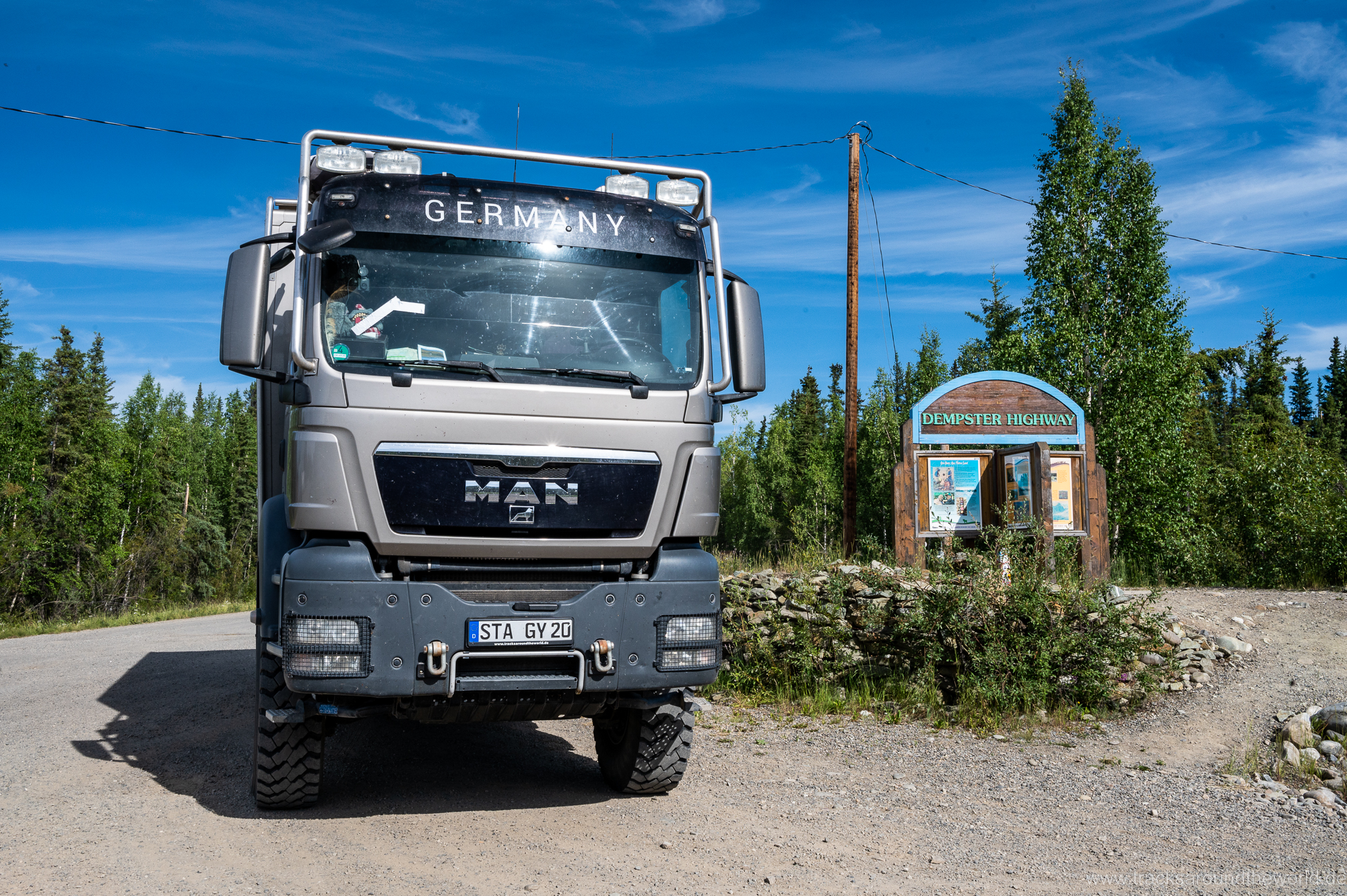
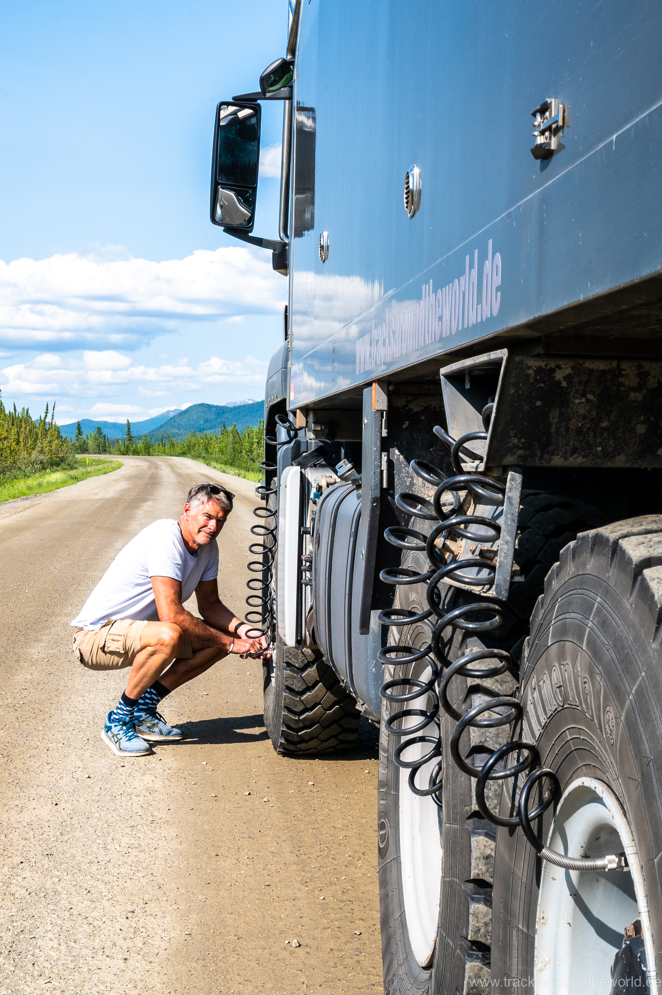
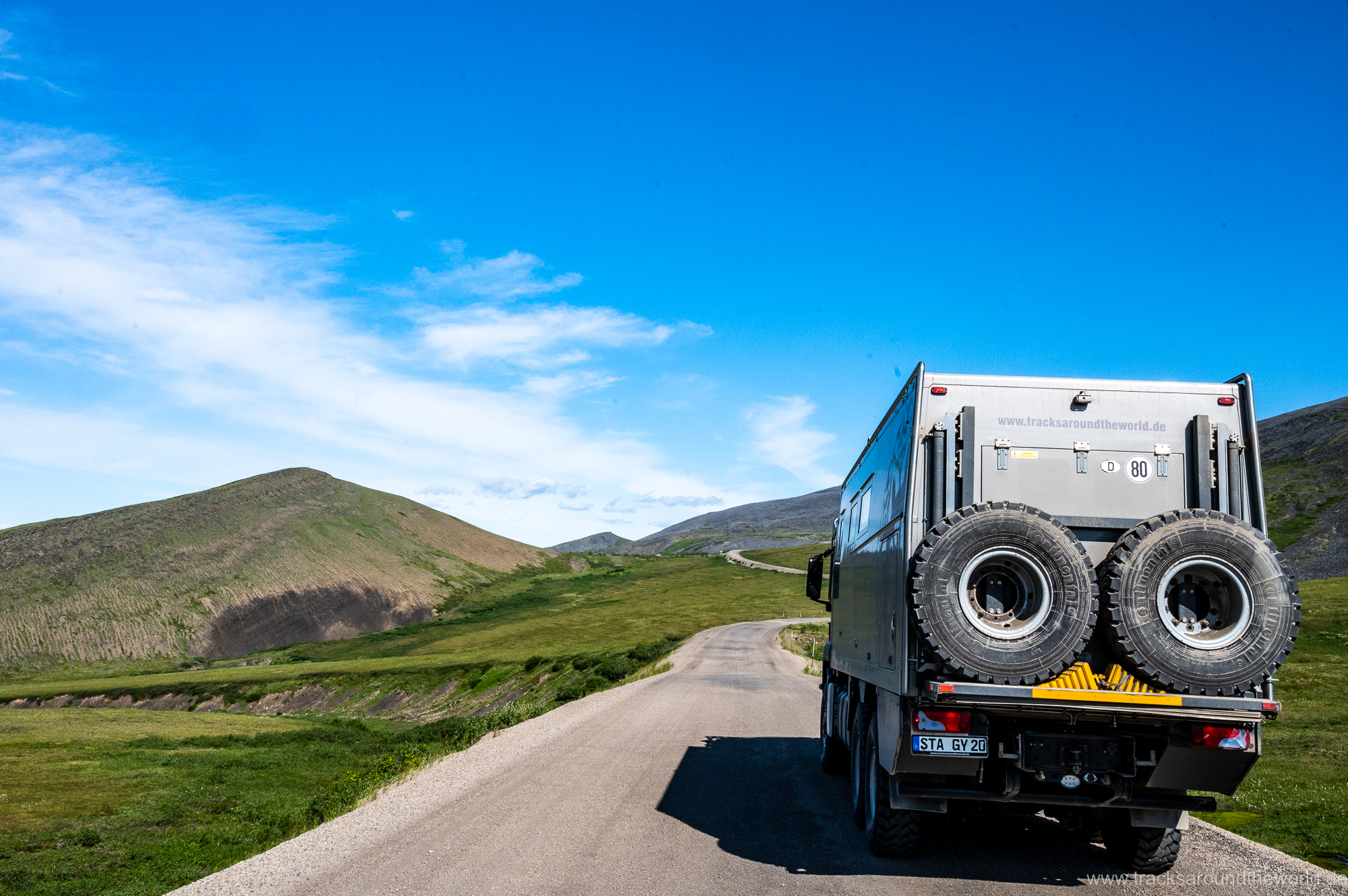
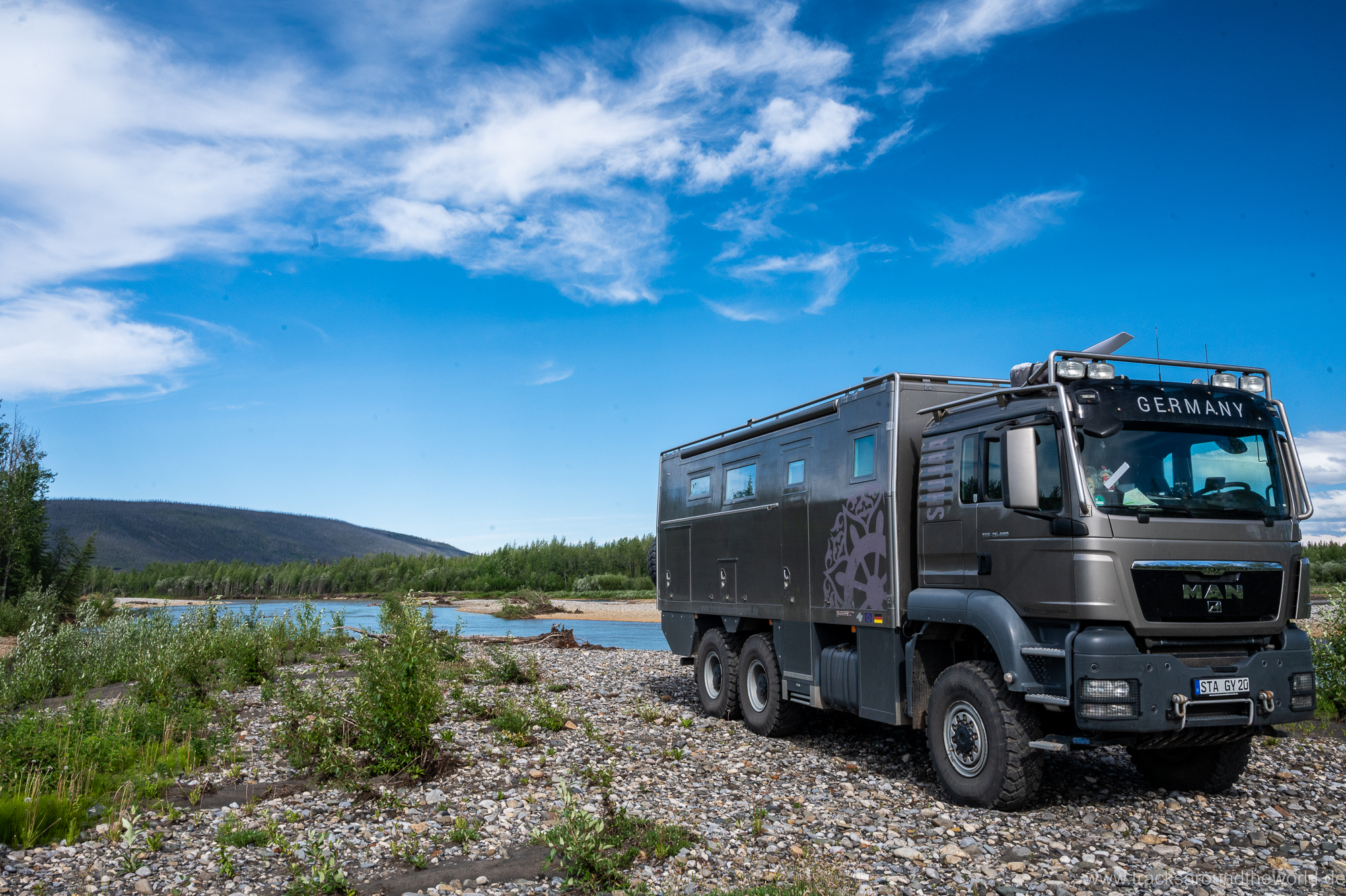
The challenges lie more in other areas: a technical defect in the vehicle can hardly be repaired here. Even our attempts to stop a crack in our windshield caused by a stone chip by “drilling a hole” failed due to the lack of competence and tools in the few backyard garages… although stone chips are more common here than flat tires and such a repair can be done on every street corner in Africa. The nearest major city – Whitehorse – is 1,500km away with towing costs to match if the worst comes to the worst! With such thoughts in mind, we drive the Dempster and do our vehicle checks a little more intensively than usual 😉… Shujaa celebrates his 250,000 km birthday on this track and like always we can always rely on him: apart from the crack in the windshield, we have no problems.
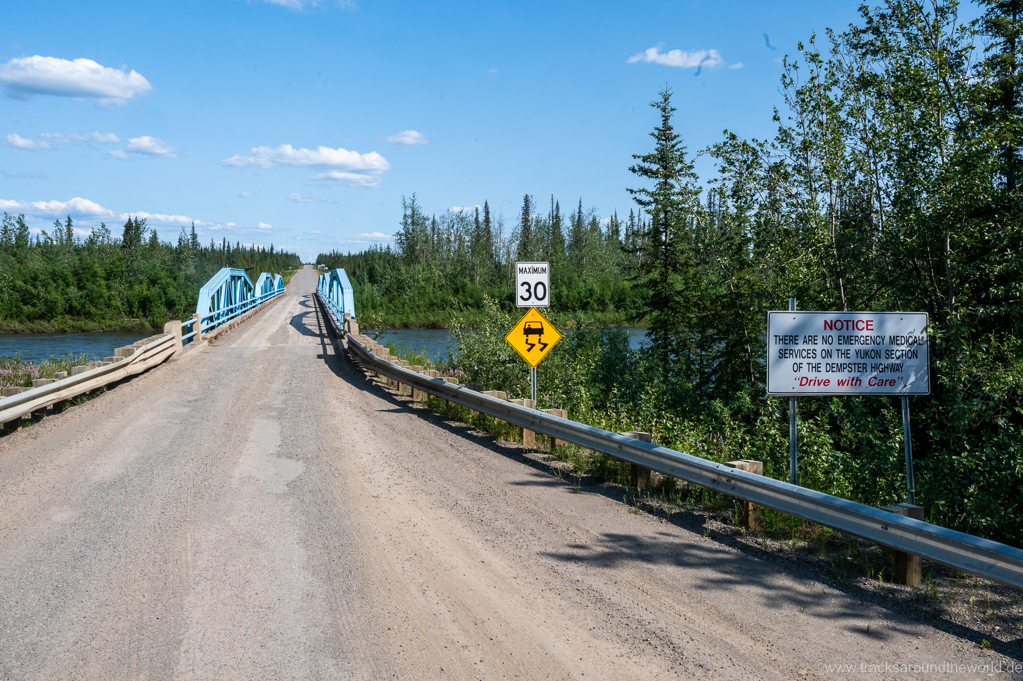
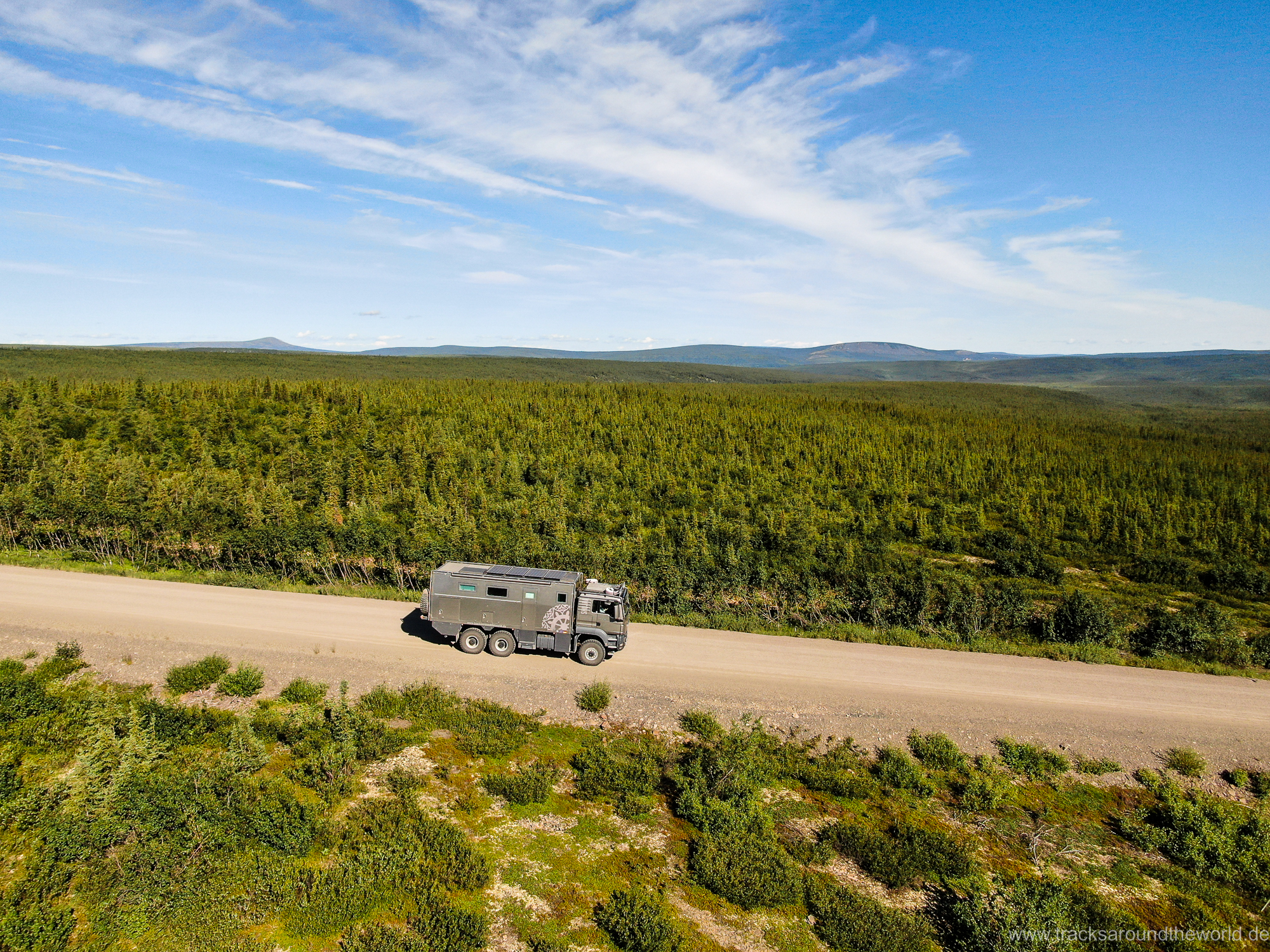
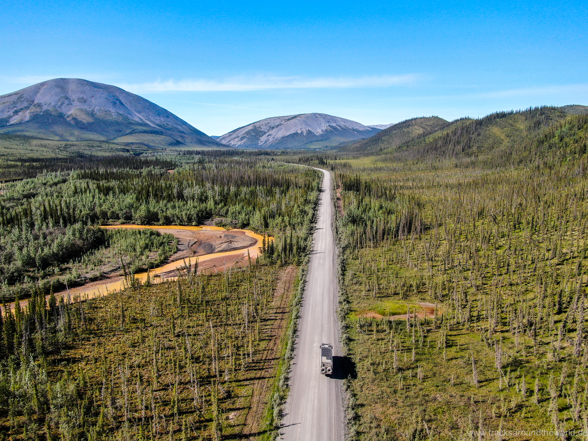
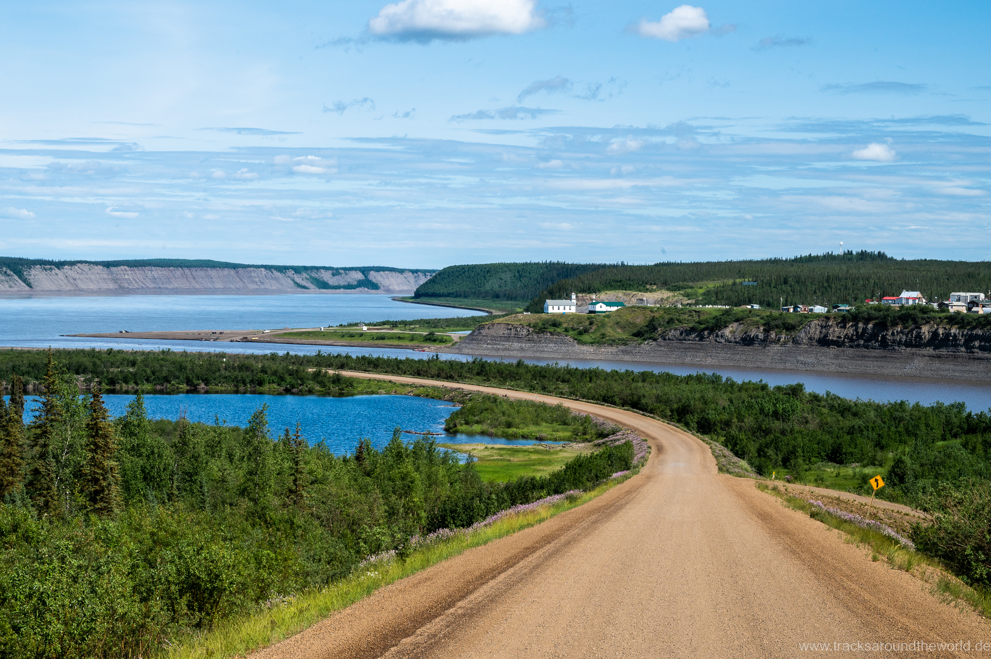
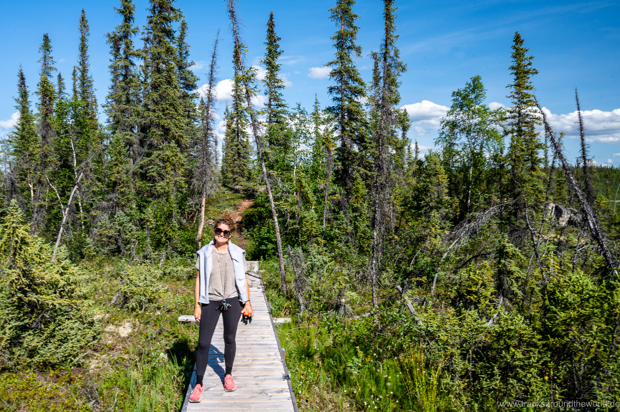
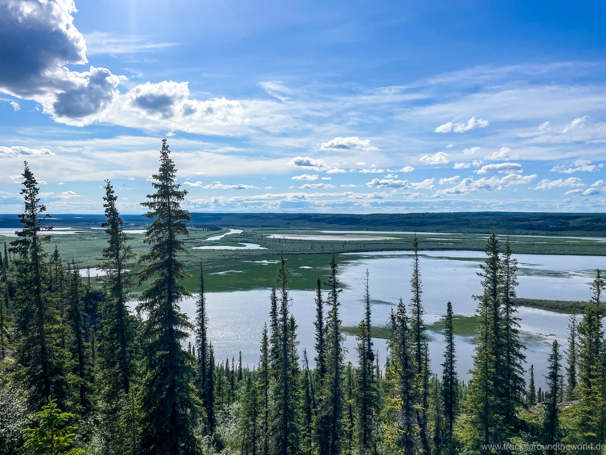
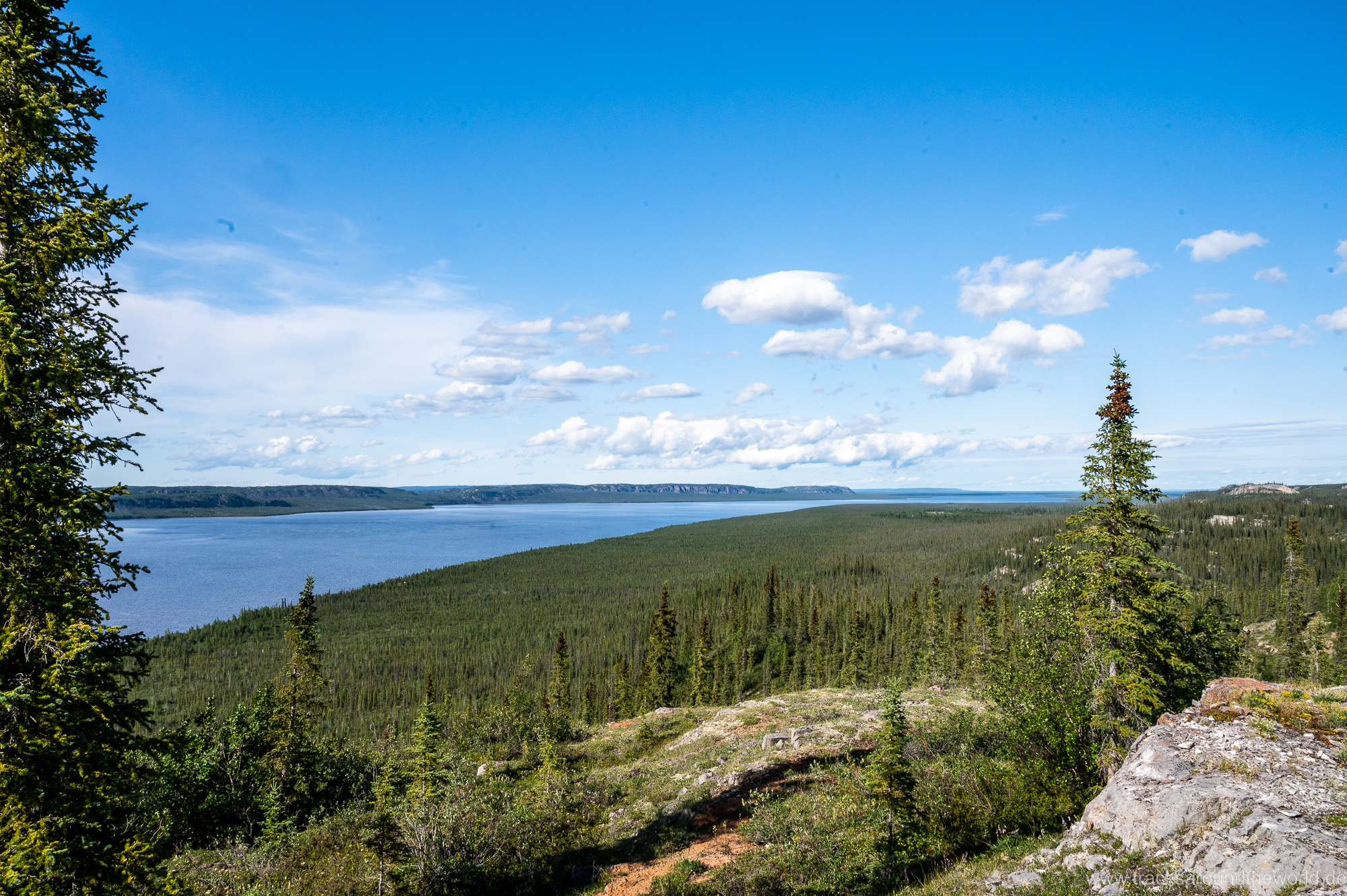
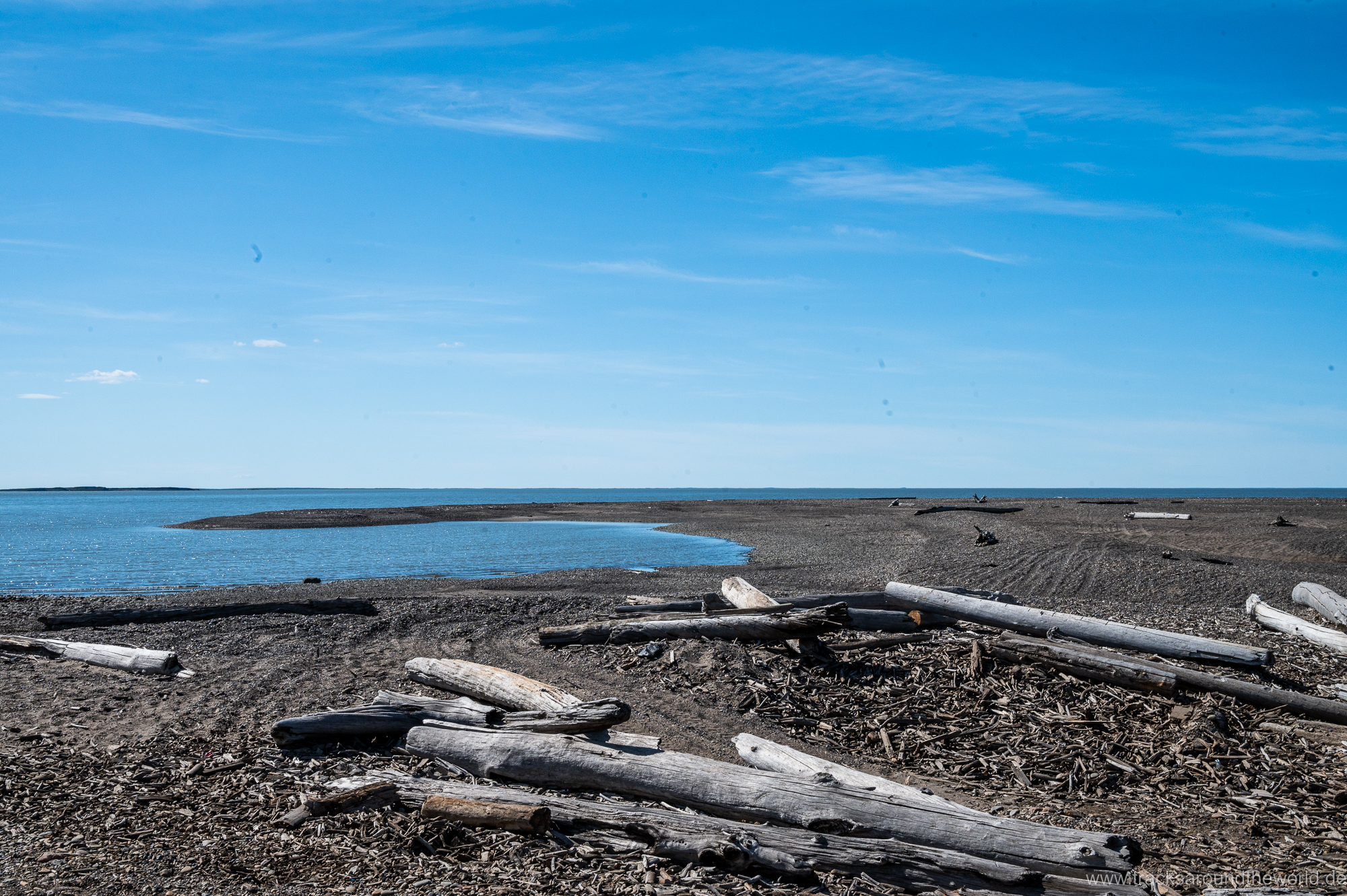
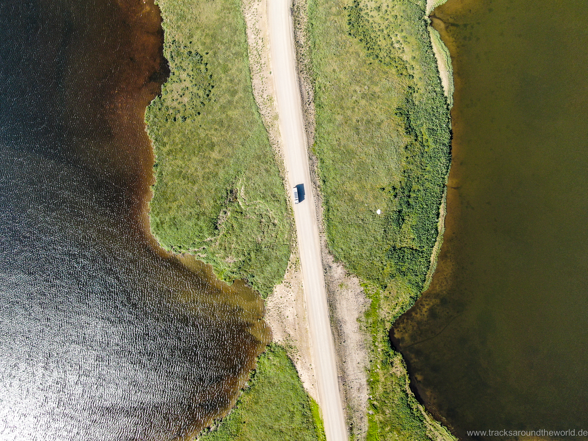
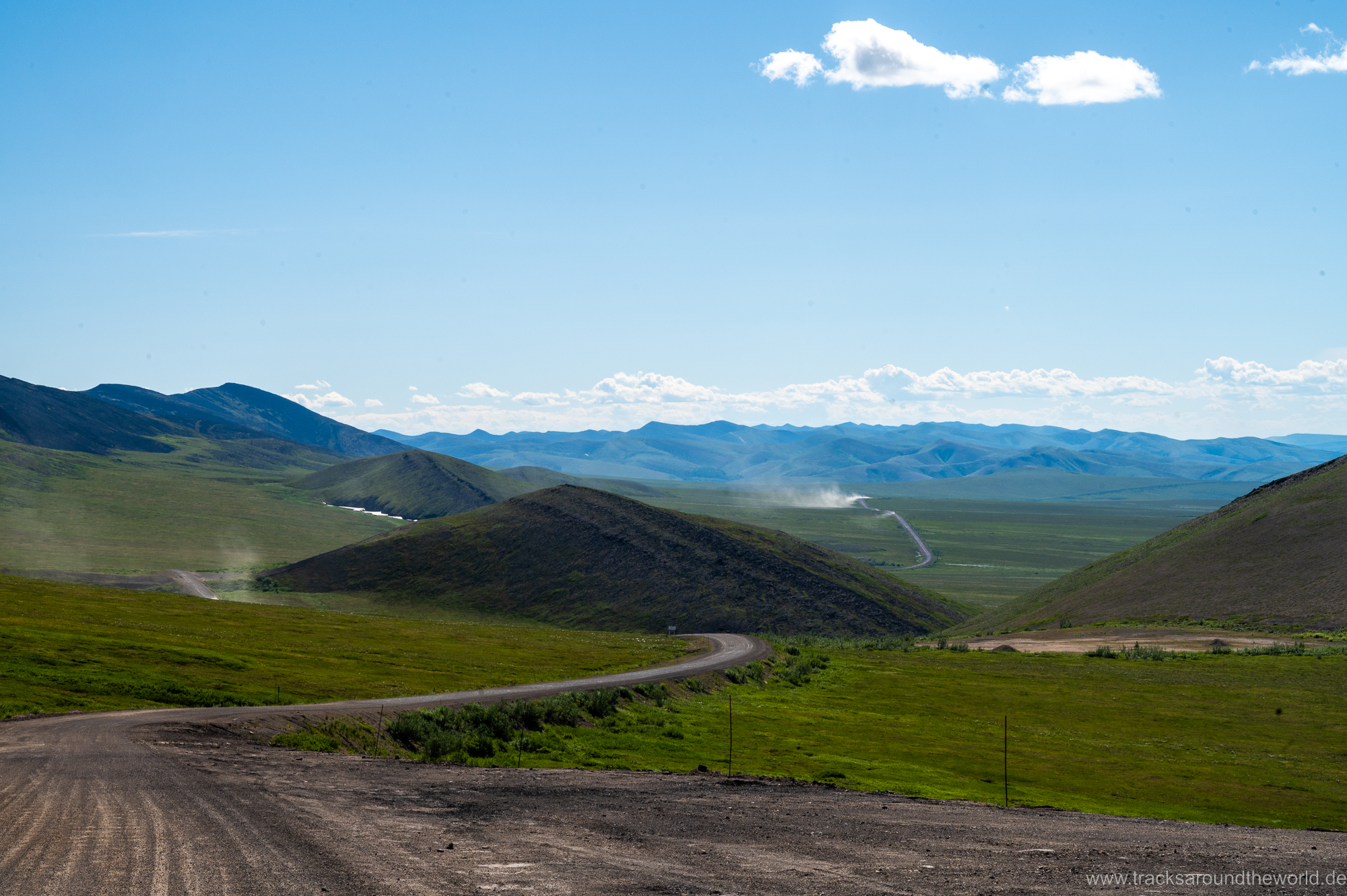
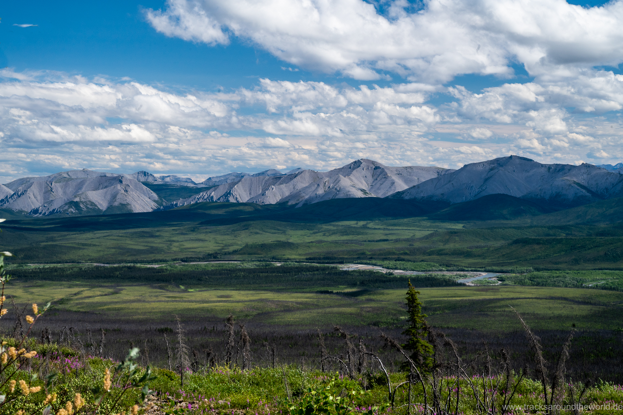
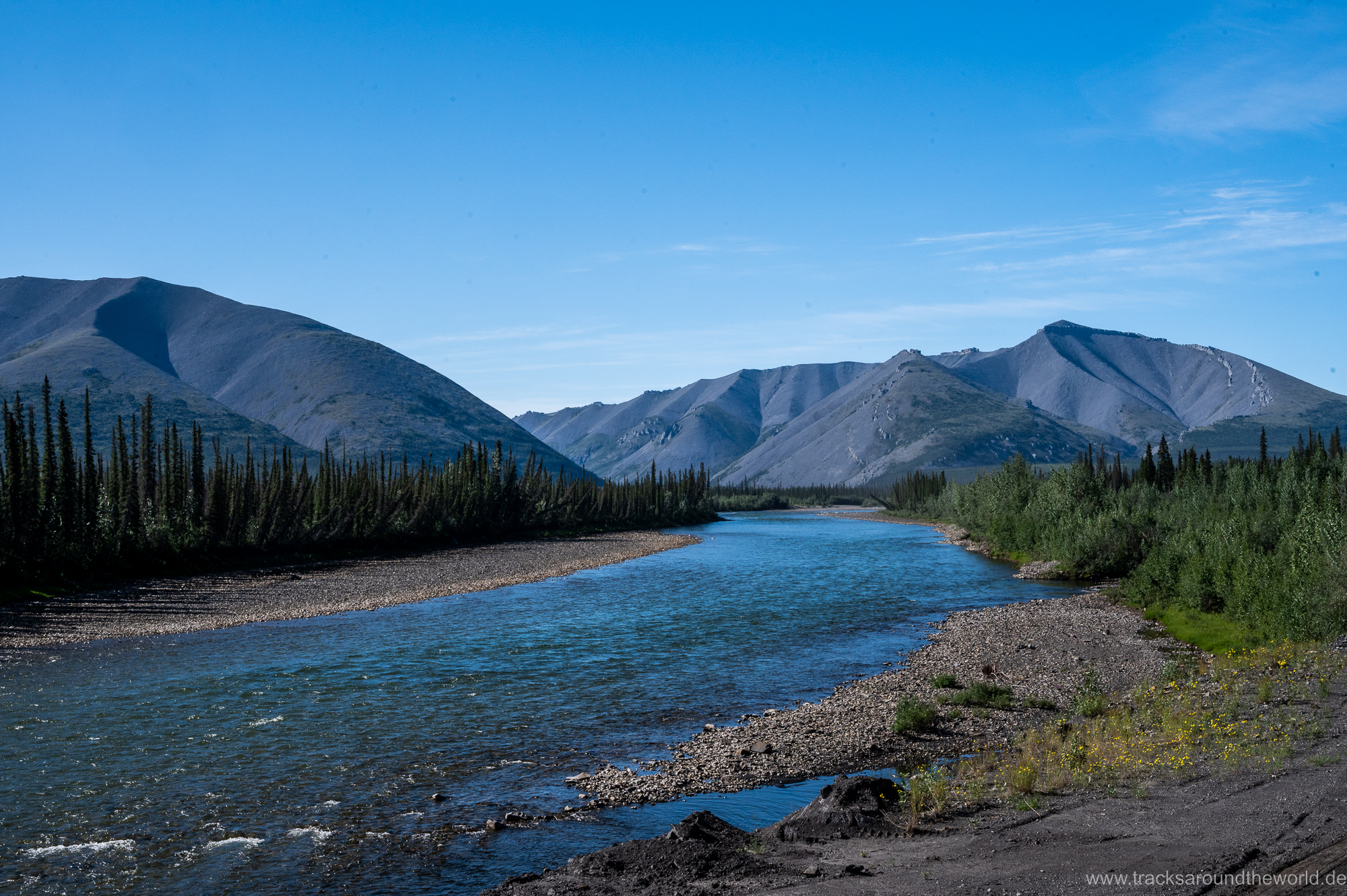
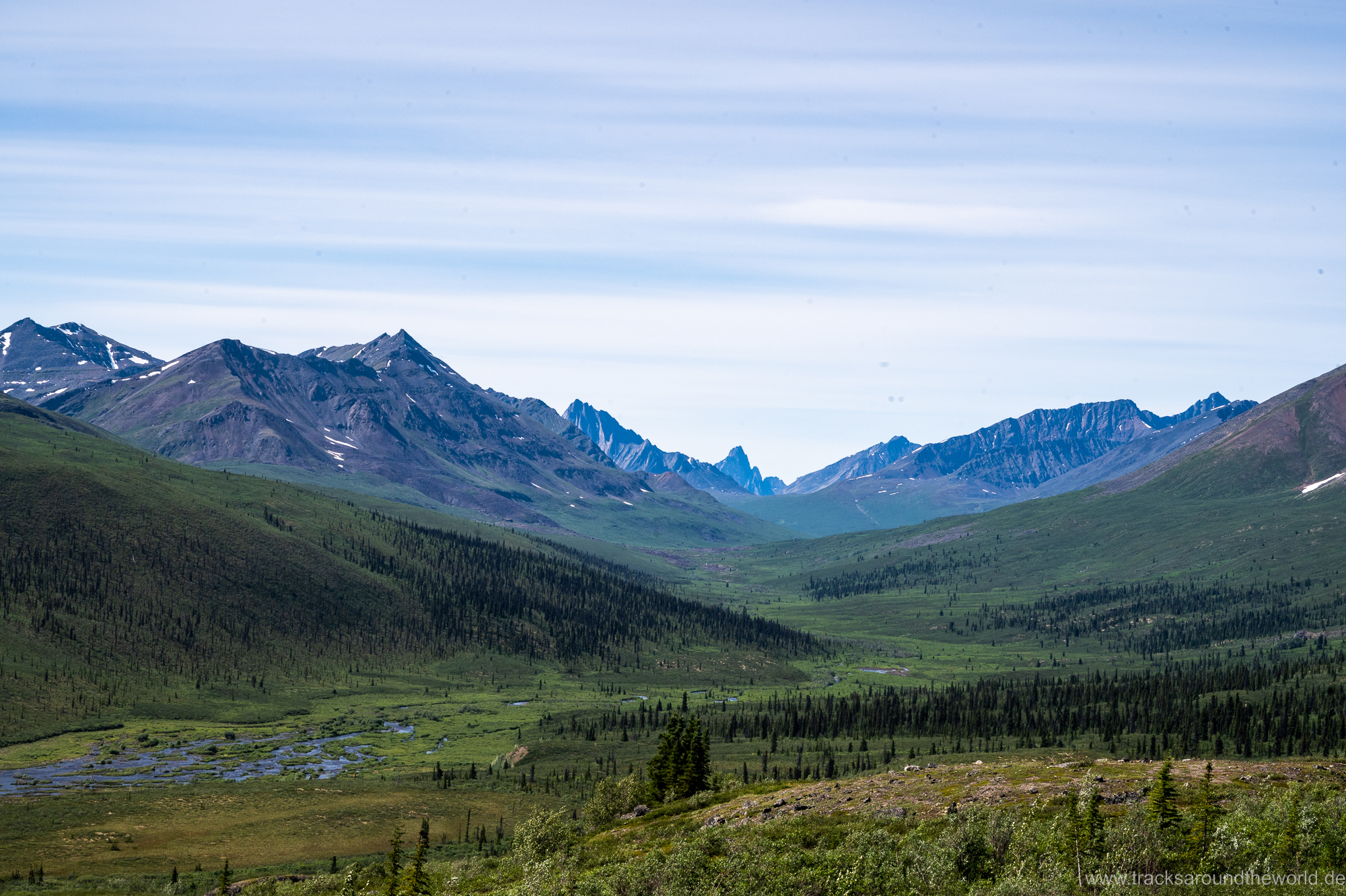
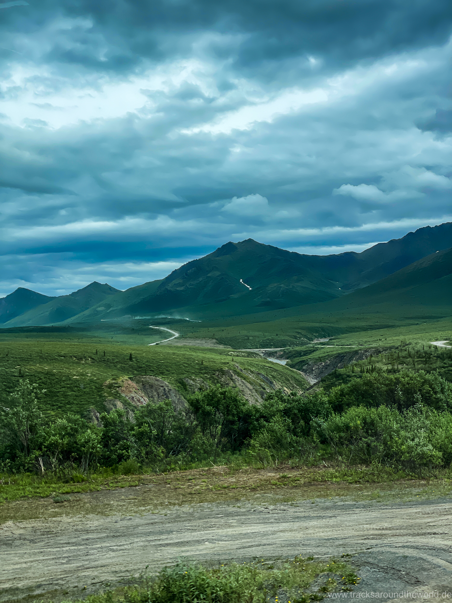
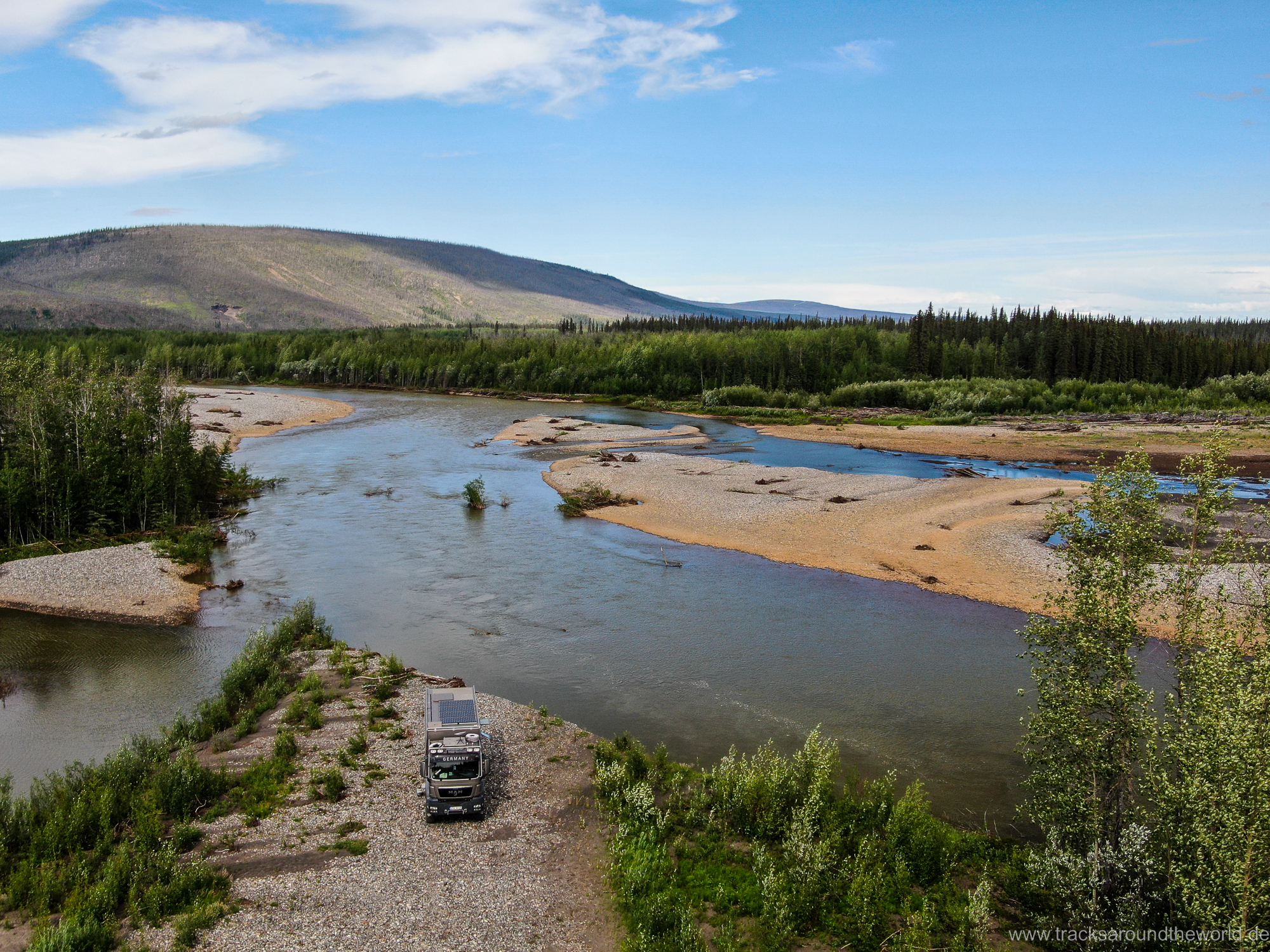
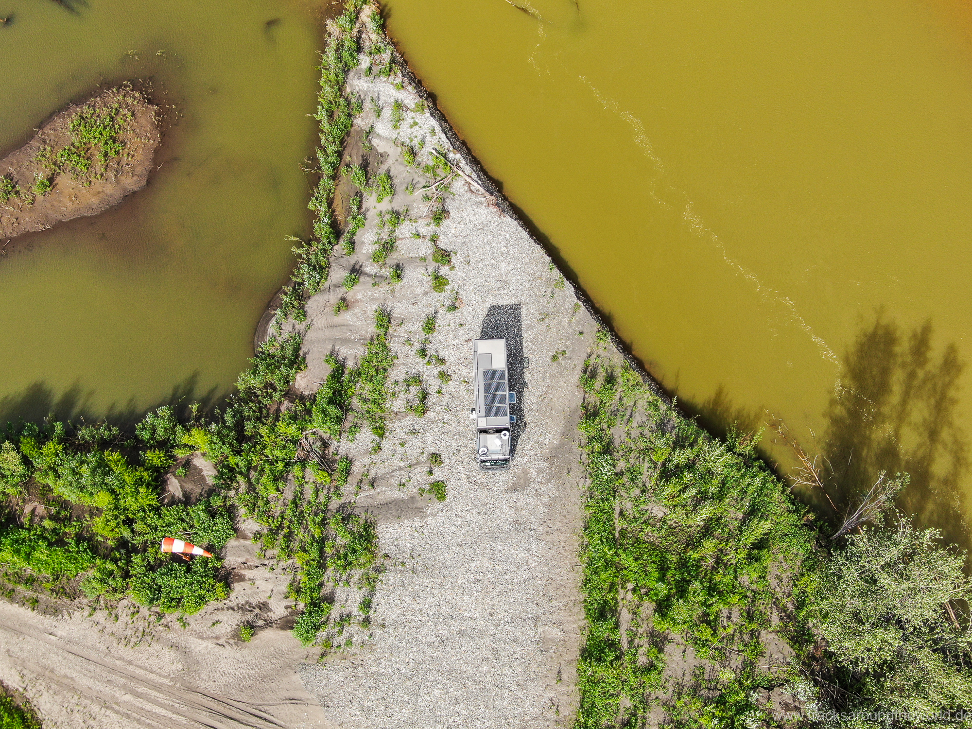
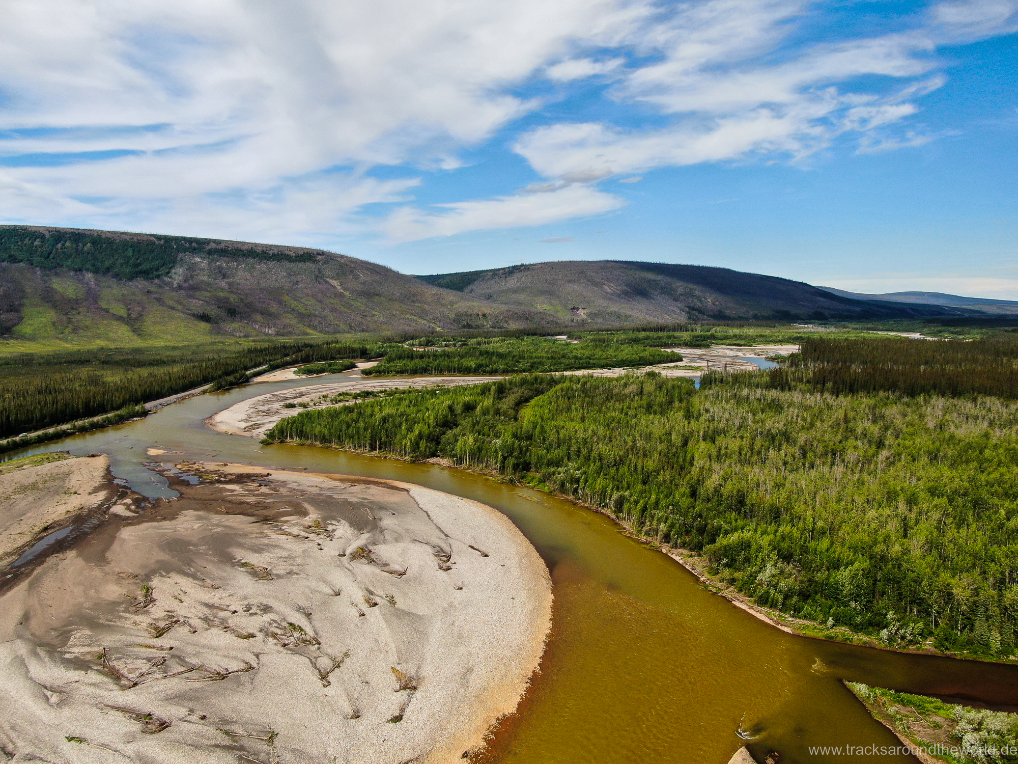
Contrary to our expectations, the landscape is very varied and beautiful. The loneliness and the endless expanse without any sign of civilization make us aware of the remoteness of this region again and again. The first 2/3 of the way stretches along rivers (some clear, some sulphureous orange, some muddy brown) and mountains. You pass two mountain ranges (the southern Ogilvy Mountains and the more northern Richardson Mountains) before descending into the lowlands, where you cross two rivers by ferry. In the lowlands along the McKenzie River we get temperatures above 30 degrees and at night there is no real cooling down… because the sun doesn’t go down 😉! We would not have thought that we would explicitly move our overnight stay here – north of the Arctic Circle – to the mountains on the return trip… for temperature reasons.
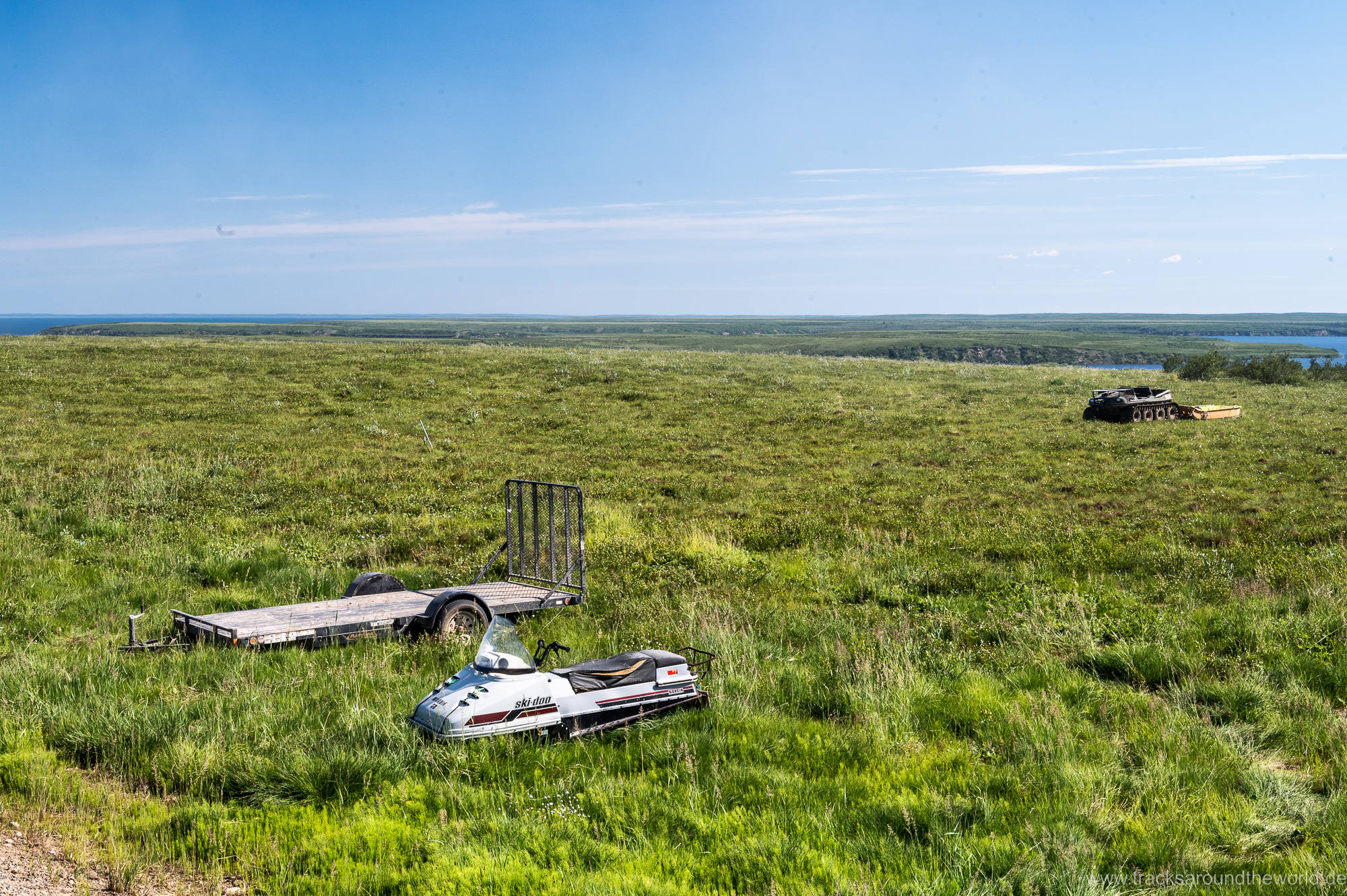
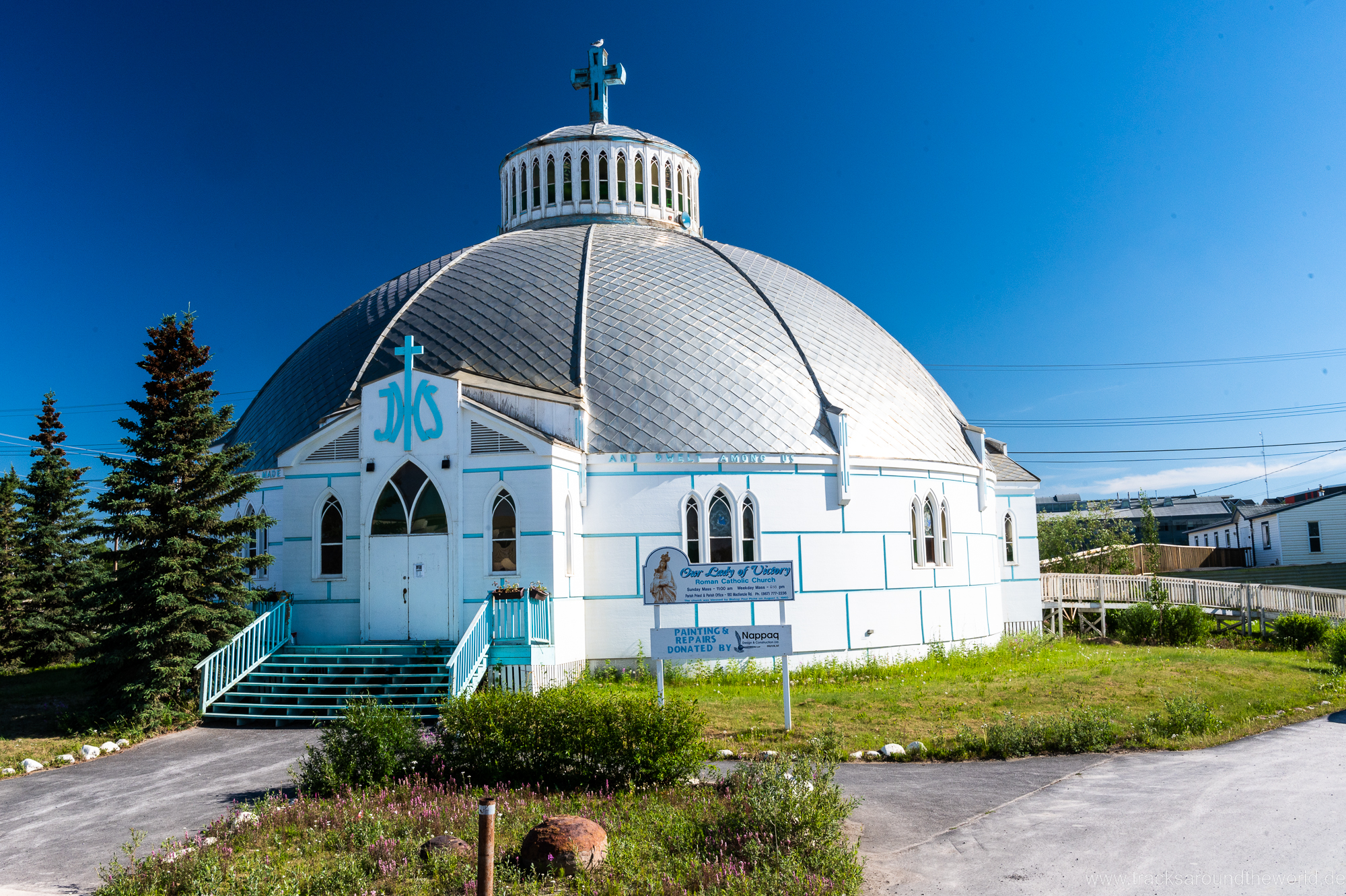
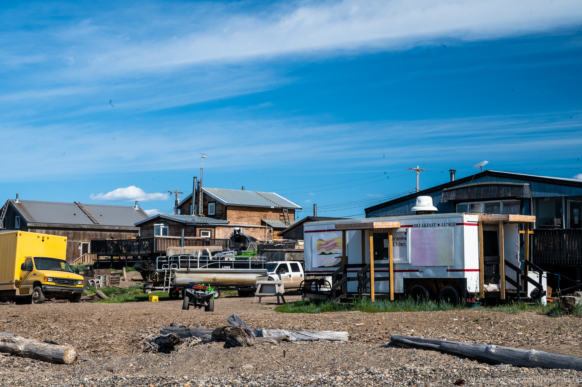
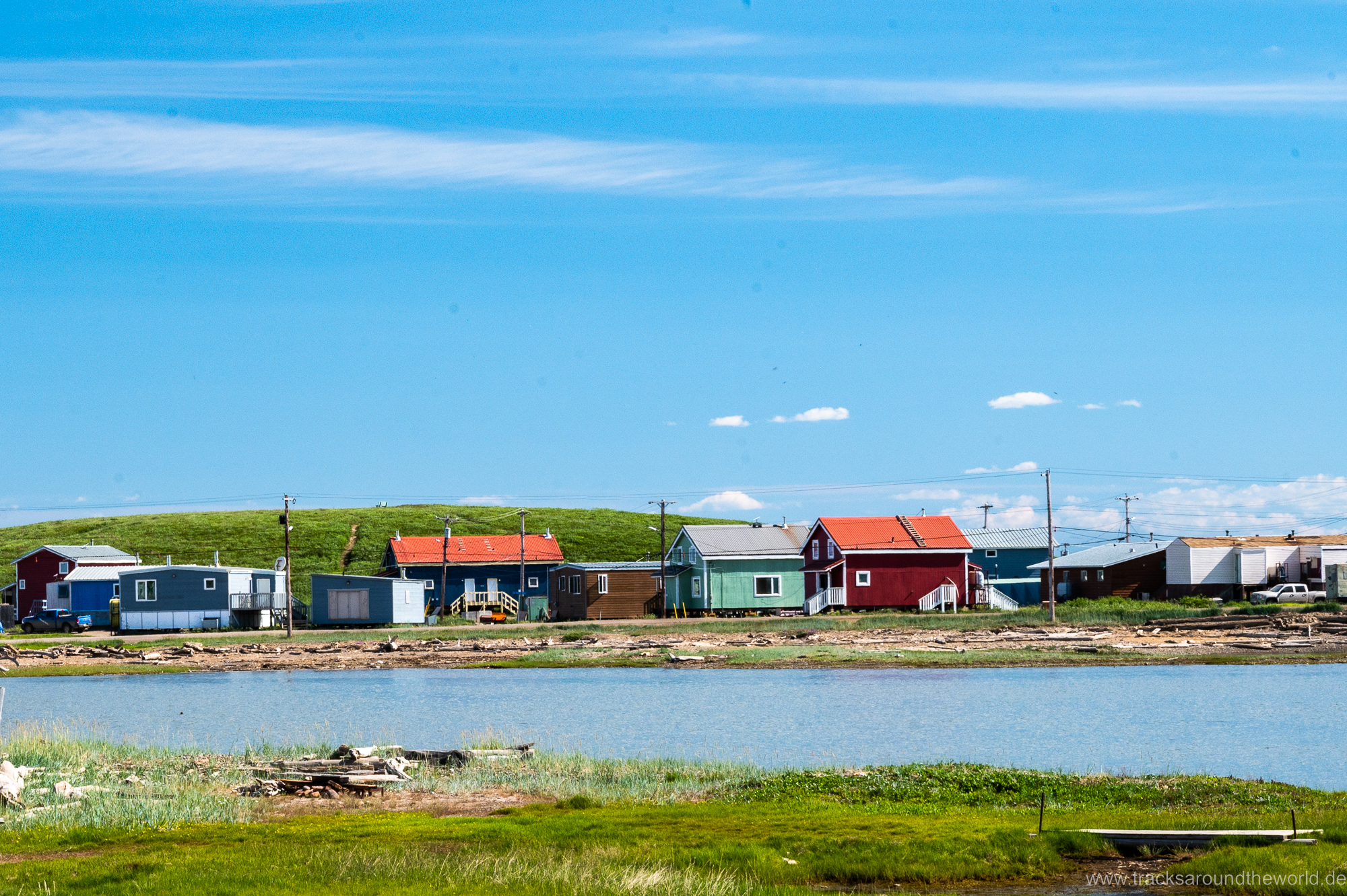
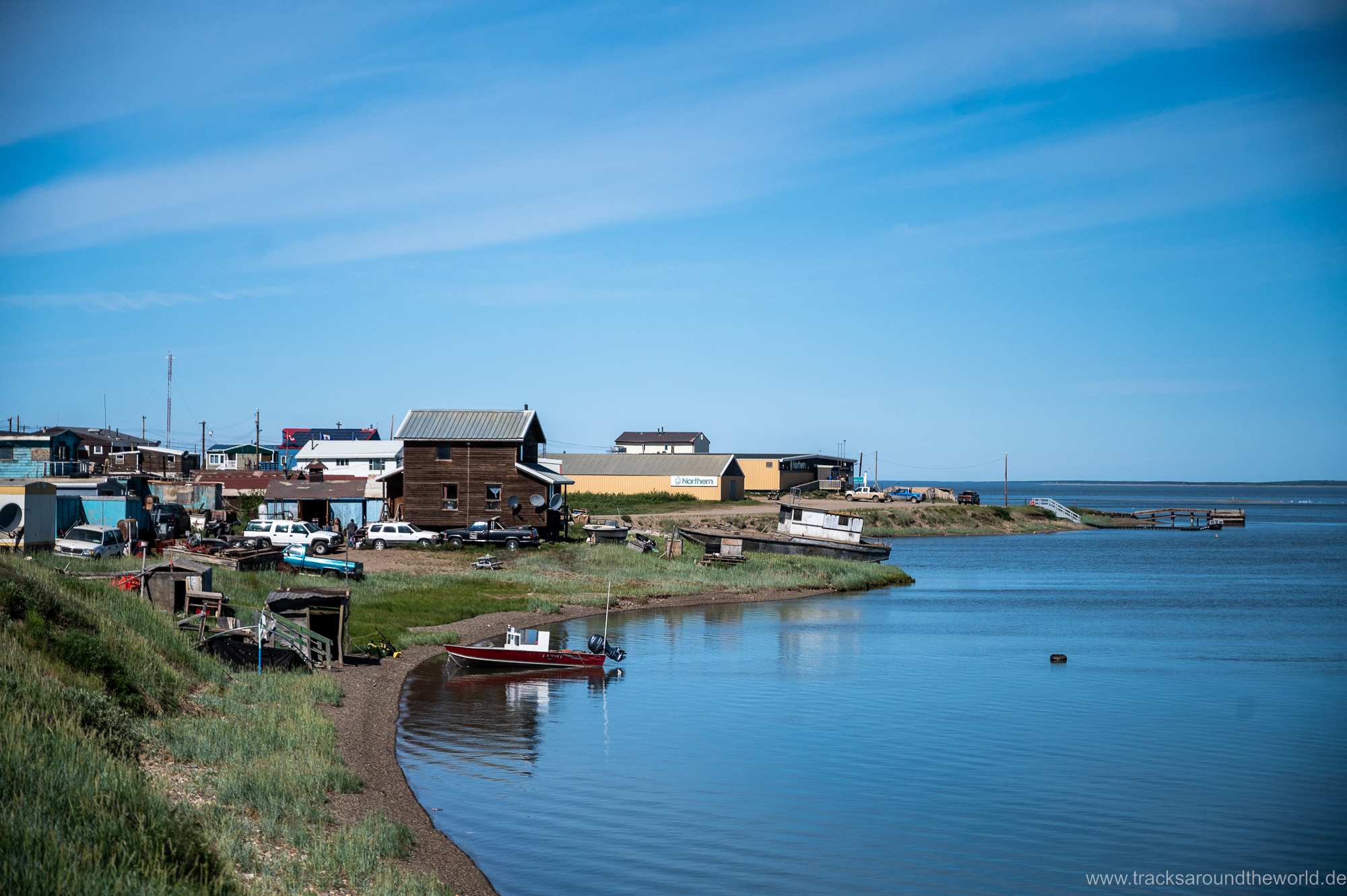
The only two notable small villages along the entire route – Inuvik and Tuktuyaktuk – are the opposite of picturesque places. The temperatures we have experienced on our trip should not hide the fact that temperatures are below -40 degrees for most of the year and that life here is extremely challenging. However, as in other “First Nation” areas, we notice the extreme garbage: not a single house without rusty cars and quad bikes in the front yard. Over the summer, Ski-Doos are simply parked on the edge of the frozen lake last skied on and wait – rusting away, of course – for the next winter. Logically, why transport hundreds of km back and forth? And then we also observe the ubiquitous alcohol problem of the locals here. In contrast, modern schools and libraries show that a lot of money flows into these most remote “First Nations” areas – also as historical reparations for land confiscations etc.
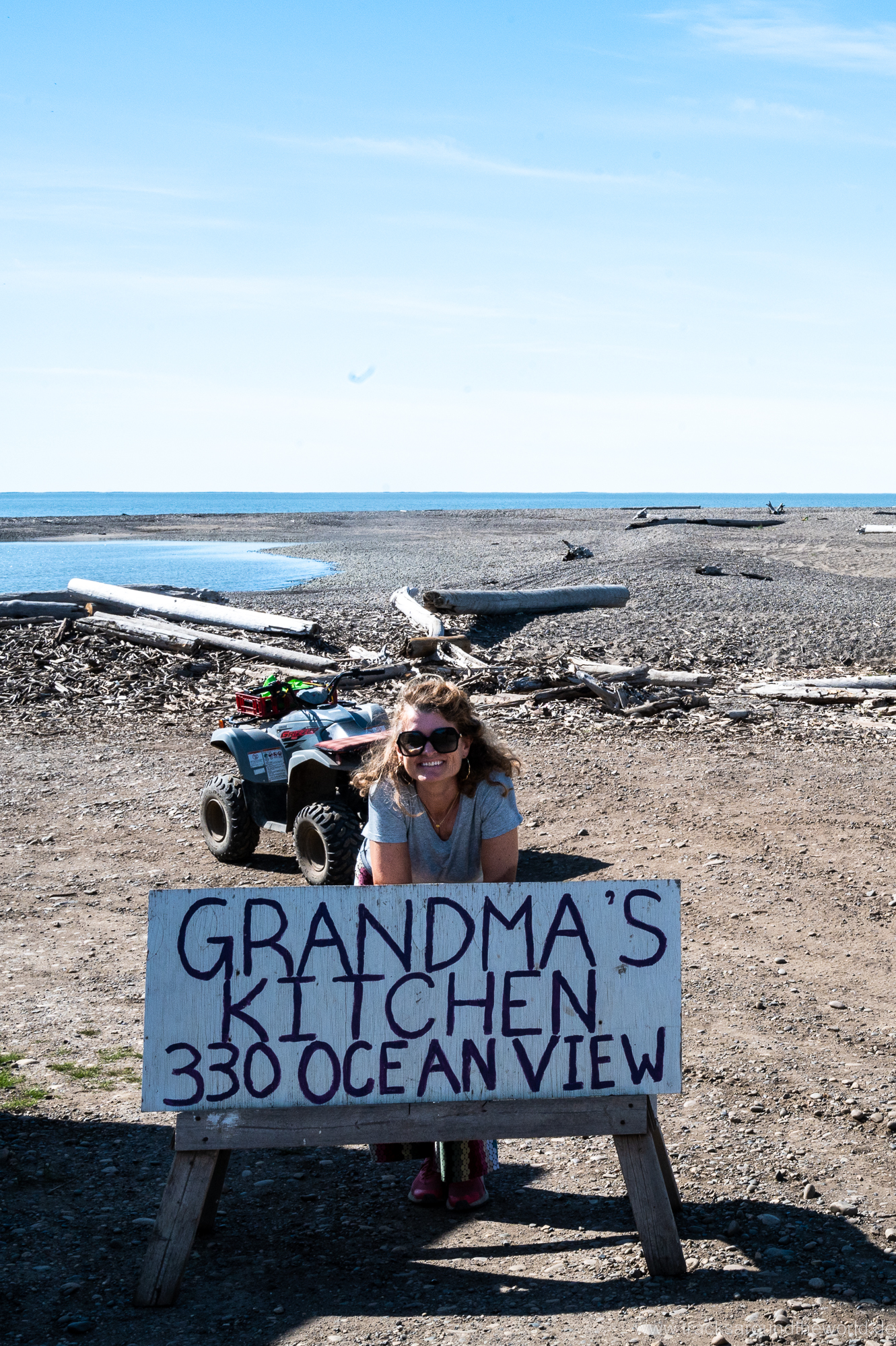
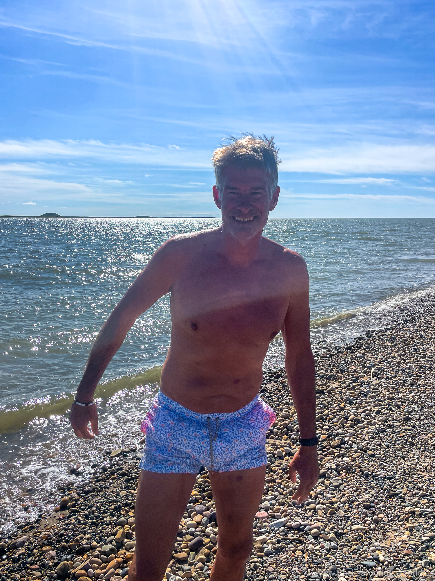
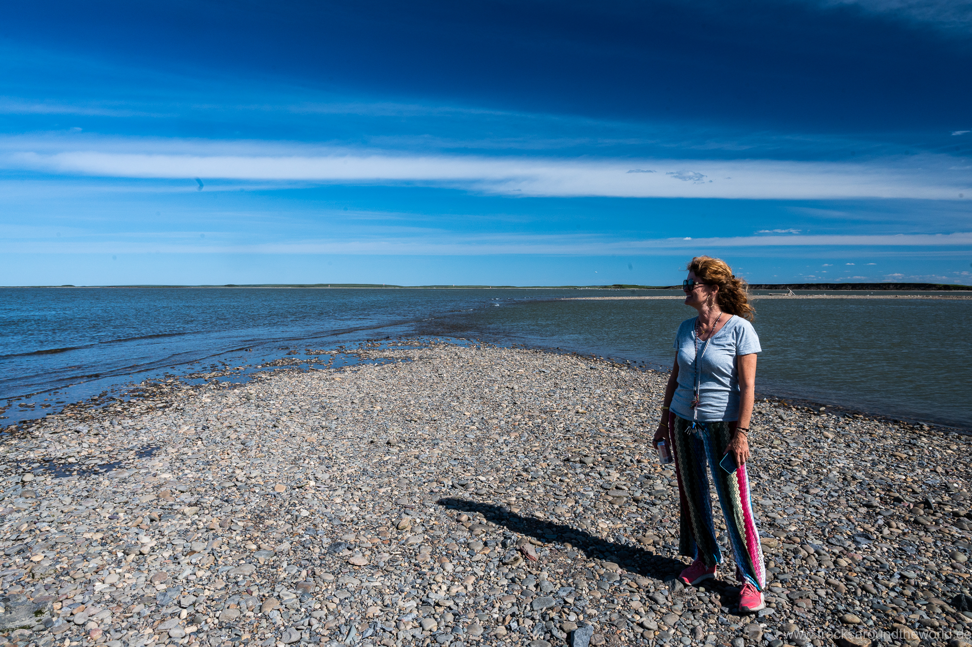
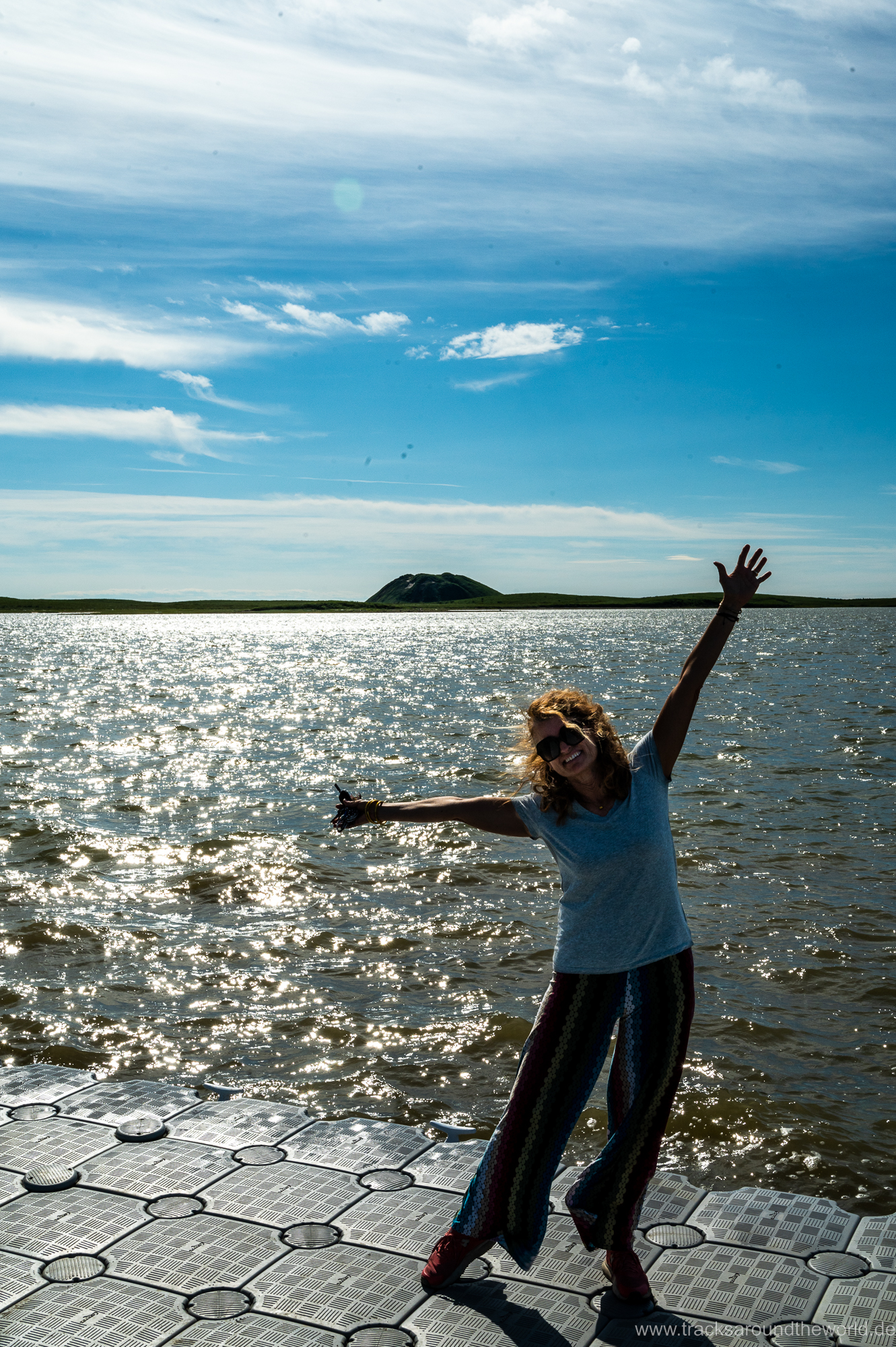
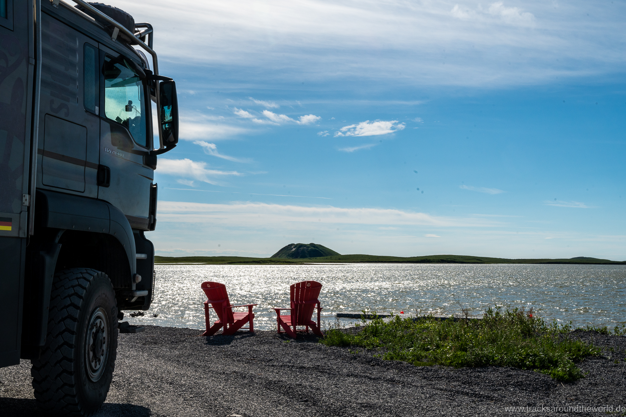
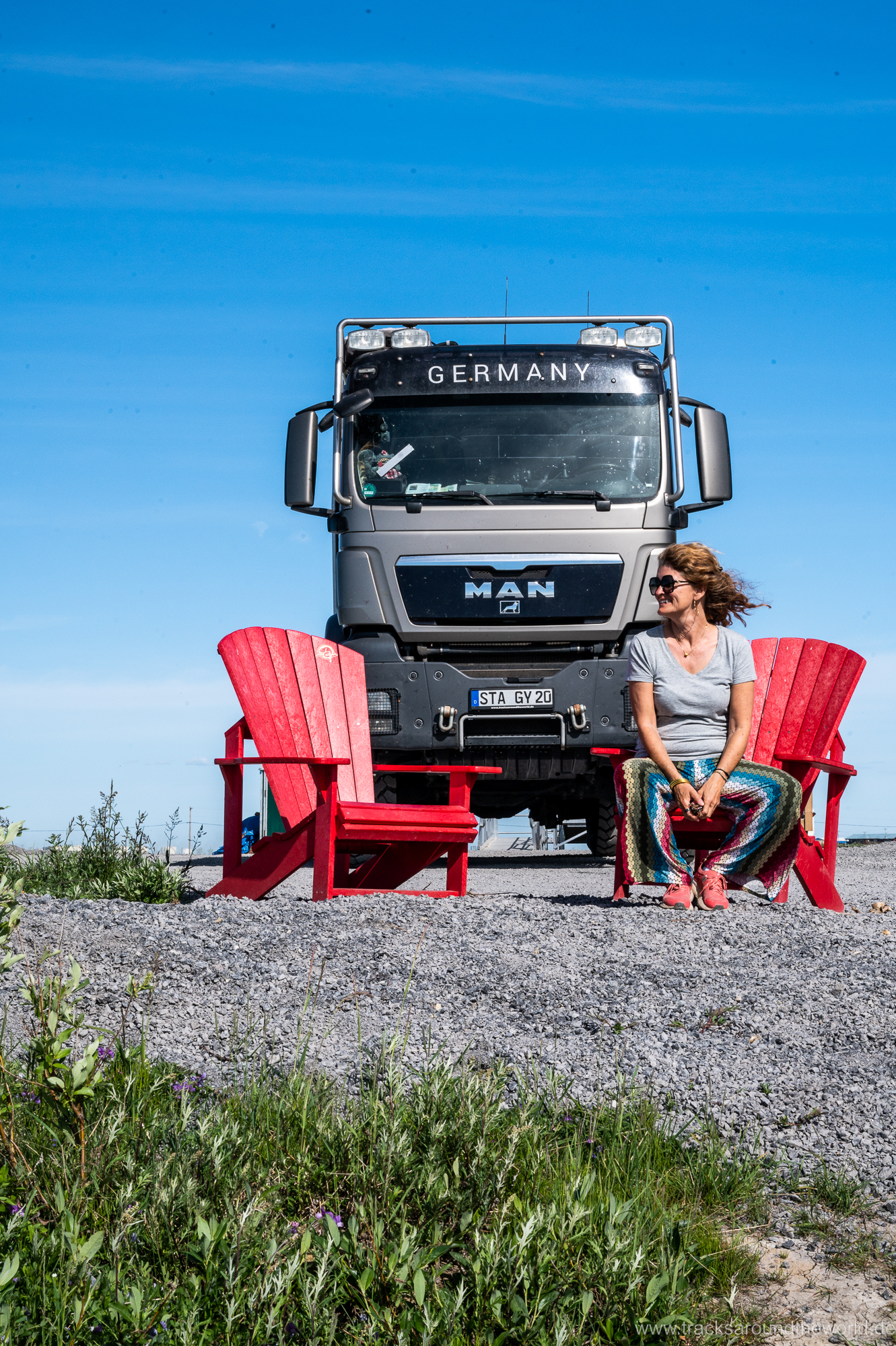
Of course, we take the obligatory short dip in the Arctic Sea, with amazingly moderate water temperatures and in “Grandma’s Kitchen” we have a classic American lunch with a sea view (luckily, she didn’t have dried whale meat at the time), before we start the 900 km return journey. The landscape, especially in the mountains, opens up completely new perspectives for us in this direction of travel. So, we don’t get bored for a minute on the return journey. In particular, the ridge road along the mountain ridge between the Richardson and Ogilvie Mountains inspires us even more than on the outward journey.
All in all, a route that we don’t want to miss, despite the many kilometers. Enriched with many impressions from the northernmost part of Canada, we return to the Klondike Highway and head south-east.

Just saw you driving through my neighbourhood in Bowness (Calgary). Enjoy your travels here!
Thank you 🙏